شركة رقمي
نقل من موقع 

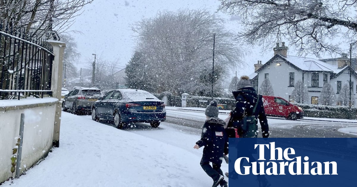
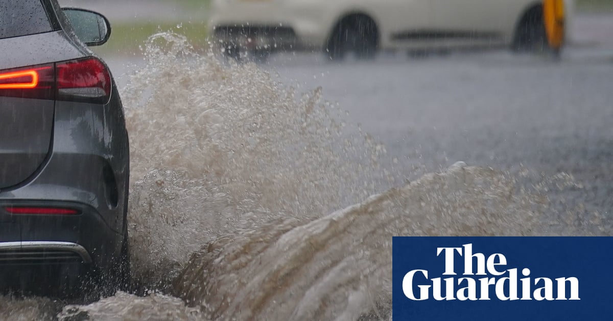
Thunderstorm warnings are still in place for most of the UK on Wednesday, while high temperatures are forecast again for many parts of England. The Met Office has issued a yellow storm warning for all of England and the eastern half of Scotland, and a more serious amber warning for eastern Scotland between Edinburgh, Inverness and Aberdeen. An amber warning means people should be on alert for flash flooding and building damage from lightning strikes, floodwaters and hailstones. Delays to public transport, difficult driving conditions and possible road closures could also follow, and deep and fast-flowing floodwater could be a threat to human life. Under its yellow warning, the Met Office is predicting storms for north-west England, north Wales and the West Midlands in particular on Wednesday and Thursday. Chief meteorologist Steve Ramsdale said in these areas “exceptional rainfall totals could be seen of 60 millimetres in an hour with a very small chance of 150 millimetres of rainfall in three or four hours”. The Environment Agency has five flood alerts posted for possible flooding in areas around Birmingham, and 17 flood alerts are in place across Scotland. Heatwave conditions are forecast to continue in many parts of England, with a top temperature of 31C expected in London, Cambridge, Yeovil and Southampton. It will also be warm further north, where Leeds, Sheffield and Nottingham are expecting 30C, as are Birmingham and Cardiff. Ten properties in Lancashire were affected by flooding on Tuesday following overnight storms, the Environment Agency said. The rainfall caused the Burrow Beck waterway in Scotforth, south Lancaster, to rise by almost a metre in less than three hours, the agency’s flood risk manager, Andy Brown, said. The agency said further heavy showers could cause more flooding in mostly urban areas of England until Friday, with some homes being affected.
مشاركة :