ATHENS — Greece is bracing to be hit by a rare Mediterranean cyclone. A "deep barometric low" is expected to start on Thursday afternoon in the west, Deputy Civil Protection Minister Nikos Hardalias said in a statement.
The cyclone, named Ianos, should come close to the Greek western coastal area by Friday morning, according to the European Storm Forecast Experiment (ESTOFEX).
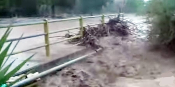
Maximum sustained winds were near 90 km/h on Thursday with higher gusts, the organization said. Ianos will cause heavy rainfall that will reach up to 400 mm in some areas, which could result in flash floods, it added.
There is a risk of tornadoes developing, according to ESTOFEX.
"We are preparing to face a rare extreme weather phenomenon," Hardalias said, adding that citizens living in regions likely to be affected by the weather front should limit their movements to only those that are strictly necessary.
Ianos is predicted to first hit the islands of Zakynthos (Zante), Kefalonia and Ithaca, and Ilia and Messinia in the Peloponnese peninsula, where ESTOFEX forecast "damaging winds".
"Mediterranean cyclones are relatively rare phenomena, which we have encountered in Greece since 1995, but they have intensified and become more frequent in the Mediterranean region due to climate change," Hardalias added.
The weather event form in the same way and look like the tropical cyclones as those seen in the US, but are weaker, generally shorter in life, and smaller in size than tropical cyclones.
The minister said, "the effects will be strong and long-lasting" in the above regions.
He also called on the citizens of Achaia, Arcadia, the Argolid, Viotia (Boeotia), Etoloakarnania, Fokida, Attica and Evia, who live in areas that have flooded in the past or are near rivers, streams or shorelines, to avoid going in basements and ground floors for prolonged periods of time.
He also urged them to stay with relatives or friends if possible and avoid crossing rivers or flooded roads "for any reason, either on foot or by vehicle." — Euronews


