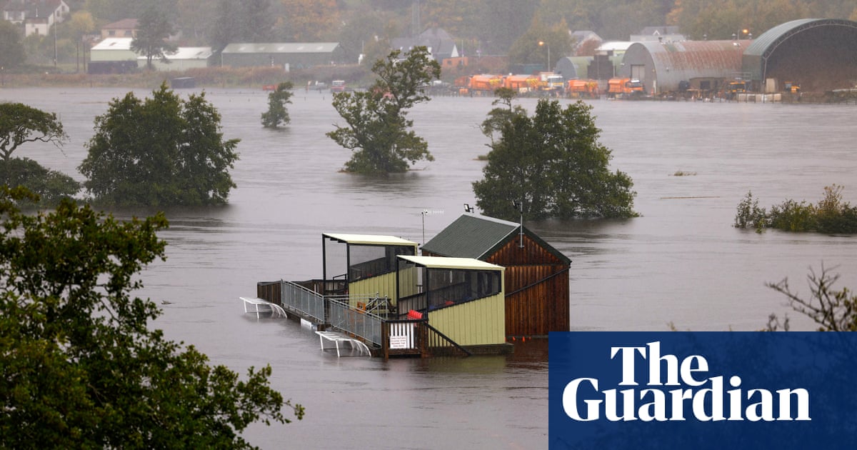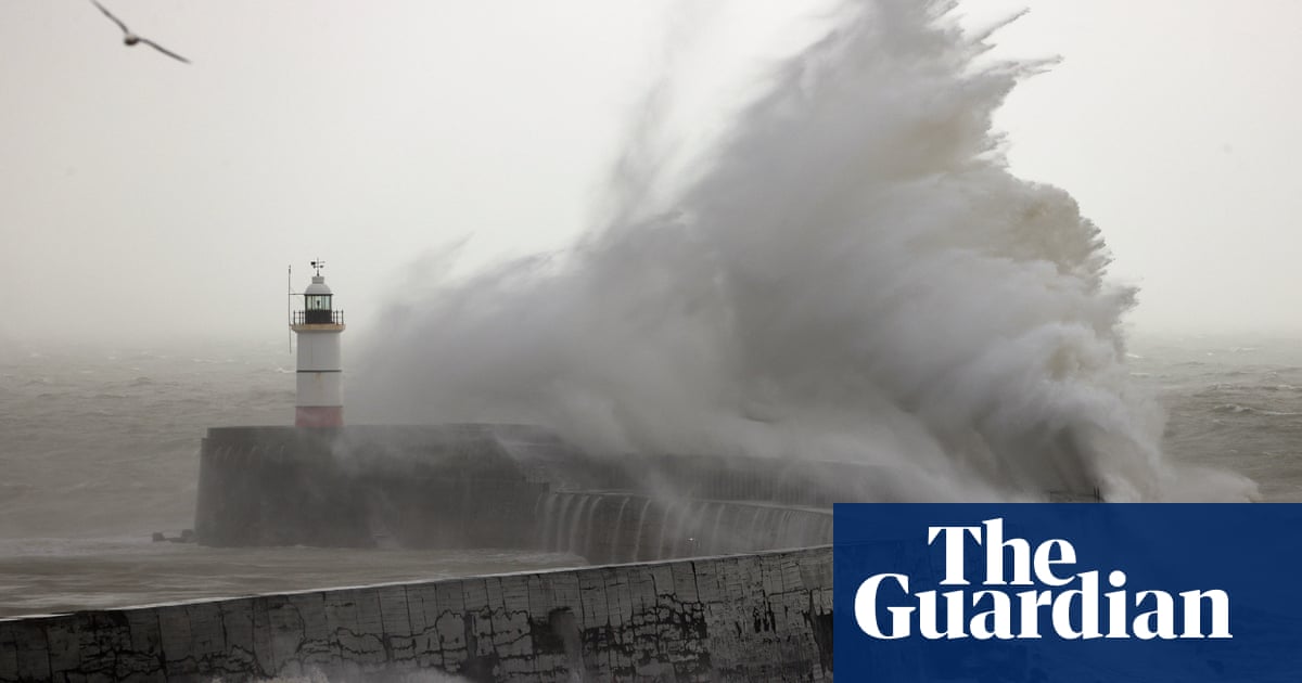
Heavy snow and gale-force winds that hit south-east England and East Anglia on Sunday are forecast to continue into Monday as Storm Darcy brings icy conditions to much of the nation.
Amber and yellow weather warnings for snow issued by the Met Office were expected to cause widespread travel problems and possible power cuts to parts of London, the east and south-east of England.
Yellow warnings for snow and ice will also remain in place for the entire country until Wednesday evening. The Met Office said the snow was forecast to turn more intermittent on Monday morning before gradually easing by the afternoon.
The easternmost part of the UK was worst affected by Sunday afternoon’s heavy snow, with the Met Office reporting disruptive conditions in Ipswich, the wider Suffolk area, Kent and parts of Essex.
The A120 was covered in snow, and rail firm Southeastern strongly advised passengers not to travel on its network on Sunday or Monday, when the company’s Maidstone East line will be closed. Southern said it had cancelled trains on two of its routes.
Places affected by the amber warning included Norfolk, Suffolk, Essex and Kent, which experienced “widespread, persistent and occasionally heavy snow”, as well as 40-50mph gusts that could cause snowdrifts until midday on Monday.
The Met Office said the cold snap was a result of “bitterly cold” strong easterly winds from Ukraine and the Black Sea area spilling across the UK on Sunday, but added that the chill was not expected to be as bitingly sharp as it was with the “beast from the east” in 2018.
The forecasters predicted up to 30cm of snow in the Kent Downs and the North Downs, while many parts of Scotland and north-east England could be hit by 2-5cm of snow, with 10-15cm possible in higher regions above 200 metres. Roads may become blocked by deep snow, with the possibility of stranded vehicles and passengers.
Essex police urged drivers in the area to adjust to the conditions, reduce speed and increase distance to other vehicles.
Daytime temperatures were forecast to stay in low single figures for much of the country, with some places staying below freezing while the strong winds should make it feel even colder.
Sarah Kent, a Met Office meteorologist, said: “There will be significant disruptive snowfall across the south-east.
“Within this area, there is a small chance particularly over the downs of Kent and the North Downs that you could see 25-30cm of snow. It is a small chance but the threat is there, up to a foot of snow potentially combined with extremely strong easterly winds. Even inland in that area, gusting could be 45mph and higher than that on the coasts.
“This could lead to significant drifting of any lying snow and obviously blizzards for the snow coming past you for anyone who is attempting to travel.”
She added that it was to be expected that some roads would be closed or blocked by the drifting snow, and said long delays or some cancellations of public transport were likely.
Public Health England has issued a cold weather alert for the whole of England from Saturday through to Wednesday. Dr Owen Landeg, of PHE, said: “Cold weather isn’t just uncomfortable, it can have a serious impact on health.
“For older people and those with heart and lung problems, it can increase the risks of heart attacks, strokes and chest infections. So it’s really crucial at this time, especially ahead of a potentially very cold snap, to remember to check on frail or older neighbours or relatives, especially those living alone or who have serious illnesses.”


