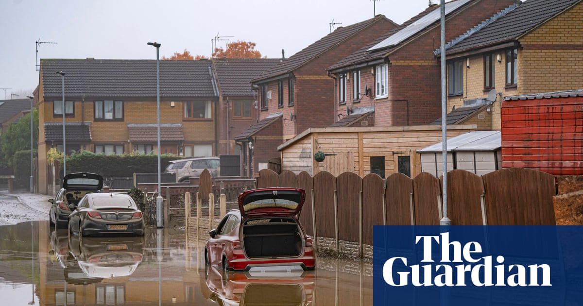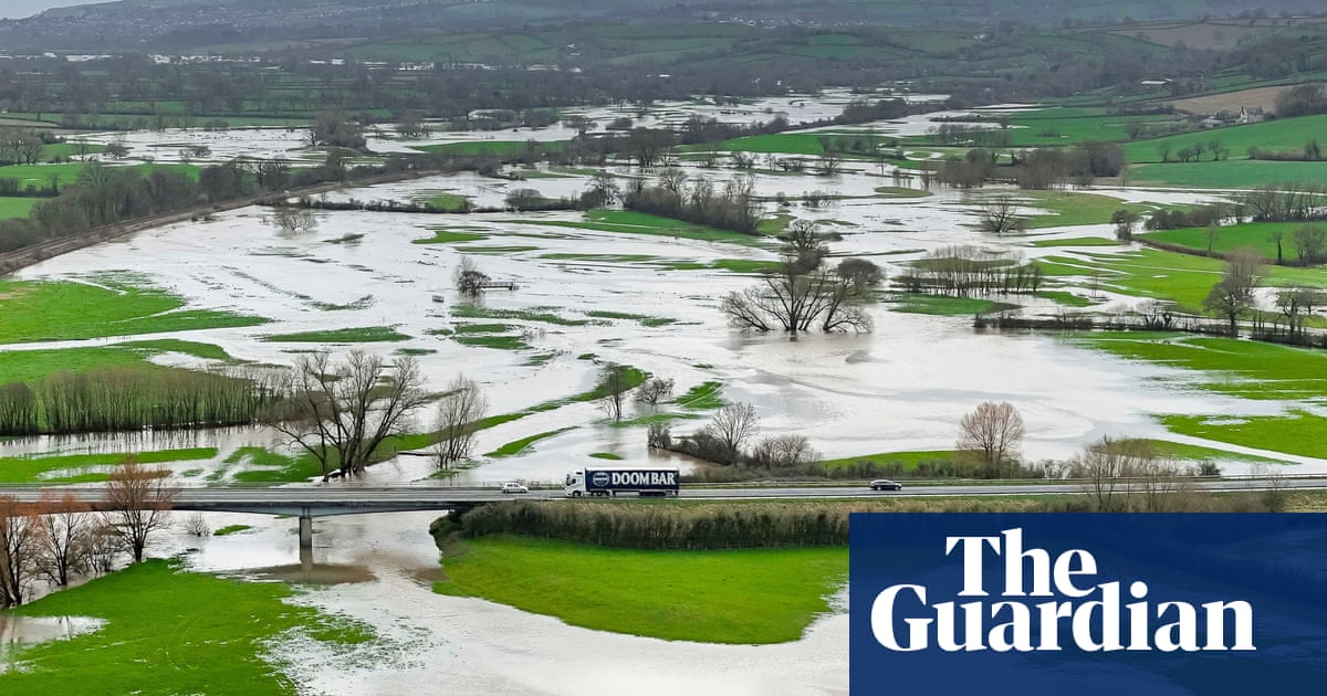
There is more heavy rain on the way, the Met Office has warned – bringing with it a risk of flash flooding in some areas.
The weekend has proved to be a washout so far, with England and Scotland fans watching Friday night’s game on screens in Leicester Square, London getting a soaking.
There were delays at Royal Ascot as officials adjusted the course to avoid the worst of the soggy ground. Saturday dawned grey but significantly drier – but England is due another drenching overnight.
Alex Burkhill, a meteorologist with the Met Office, said parts of southern England could get 10mm-15mm (0.4in-0.6in) or even 20mm in an hour on Saturday night going into Sunday. The total rainfalls could reach 30mm over two or three hours in areas of Kent, Essex and East Sussex.
The Environment Agency currently has 12 flood alerts in force spanning locations in greater London, the Midlands and up into South Yorkshire. It means flooding is possible and residents should be prepared.
There is one flood warning in place, meaning flooding is expected, at the River Loddon and Blackwater at Swallowfield in Berkshire.
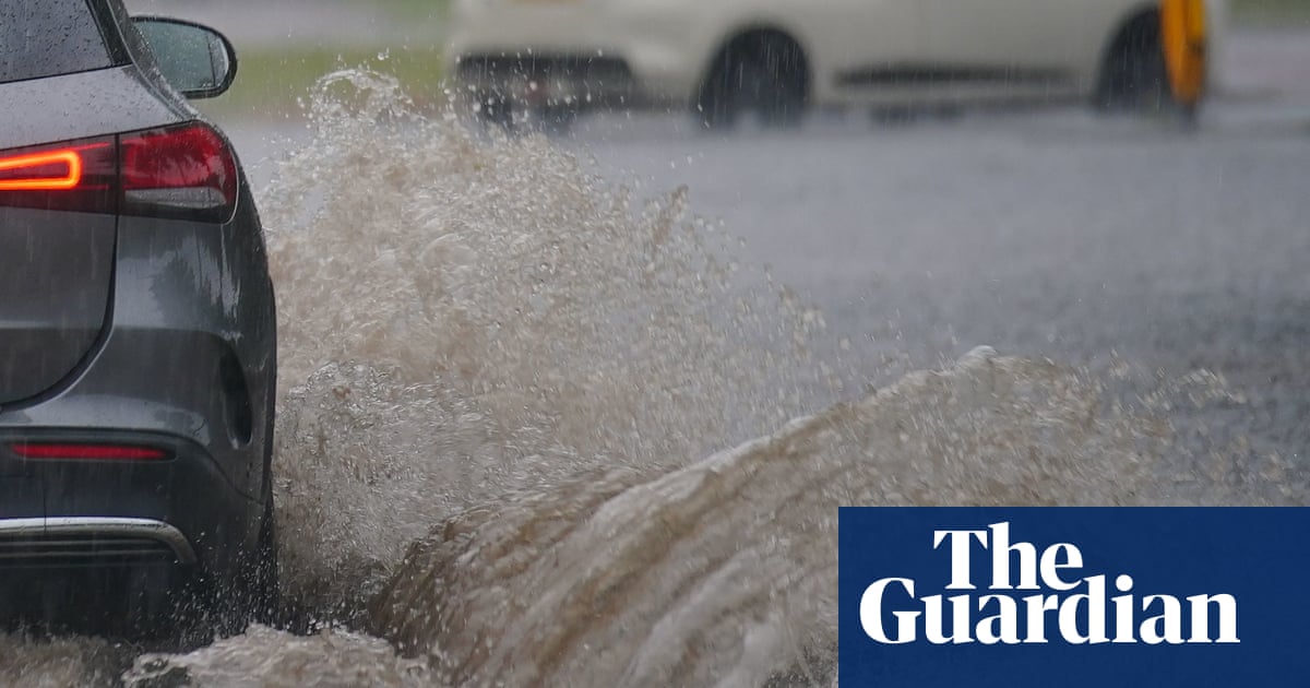
By Saturday afternoon cars already faced perilous routes through flooded roads.
Burkhill said: “It is definitely heavy rain for any time of year but it is not unusual. At this time of year we generally get more intense rain. It may not go on as long as the winter and autumn months, but this time of year the rain has a lot more energy because of the warm air and there is a greater risk of flash flooding.”
He continued: “Unlike winter when long periods of rain cause water levels to rise and rivers to burst their banks, in summer there are periods of intense rain – really heavy for a short period – and you get flash floods when drains become blocked or are unable to cope with intense rainfall.”
The rain is expected to continue into next week and beyond.
Burkhill said: “The heaviest rain will be in the south-east, but partly because of the timing the impacts aren’t thought to be heavy enough to warrant a warning at the moment. On Monday there will be more showery rain coming up from the south affecting the southern half of England.”
He continued: “On Tuesday it is looking like a drier day, but more wet weather will come in from the west-north-west as we go into the latter half of next week. There will be some drier days but that is not to say that we have come to the end of this unsettled period.”
It is a similar picture across the UK, with all four countries facing at least another week of grey skies.
“There has been quite a lot of unsettled weather recently,” Burkhill said. “The heaviest has generally been across southern parts – moving in from the near continent, across the Channel and into the UK.”
The Driver and Vehicle Standards Agency has issued advice on driving safely through summer showers. Its tips include allowing at least double the usual separation distance between your vehicle and the one in front, keeping speeds down and using dipped headlights so that other drivers can see you.


