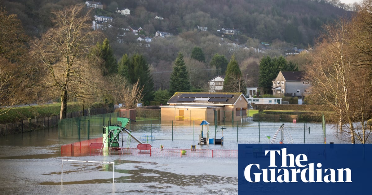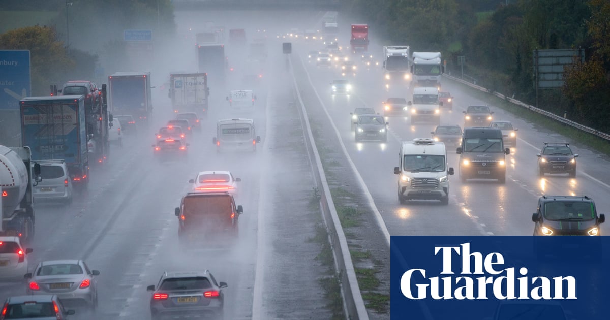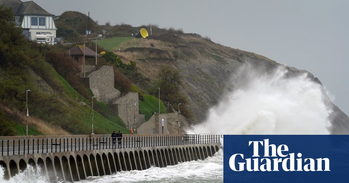
Torrential rain and thunderstorms have brought flooding and travel disruption to parts of the UK amid the wet start to August. Rail operators warned of blocked lines and cancellations on Monday, while motorists in some parts of the country negotiated water-filled roads.
The Met Office had earlier issued three yellow warnings for heavy showers and thunderstorms, covering parts of Scotland, Northern Ireland, and London and southern England, which were due to expire by 9pm or 11pm.
The dismal weather comes after a weekend of downpours in which the worst washouts were in northern England and southern Scotland.
The Met Office said thunderstorms brought torrential rain and lightning to the north and north-east of the Glasgow area in Scotland on Monday afternoon. National Rail Scotland said “significant downpours” had led to the line between Dalmuir and Hyndland via Yoker being closed.
Thundery showers also brought torrential rain to Edinburgh and parts of the Lothians, with ScotRail warning of cancellations between Milngavie and Edinburgh via Airdrie and Bathgate due to flooding. Local residents shared footage on Twitter of flooded streets in Glasgow and Edinburgh.
Heavy rain broke out across Northern Ireland, with motorists urged to take care on the roads due to standing water and spray.
In England, rail operator Greater Anglia said lines between Bishop’s Stortford in Hertfordshire and Stansted Mountfitchet in Essex were blocked due to flooding.
Footage taken in Greenford, west London, on Monday afternoon showed cars ploughing through a flooded street, with one motorist appearing to push his vehicle through knee-high water.
In east London, Barking and Dagenham council advised people on Twitter that the Mayesbrook Covid-19 test centre was closed due to flooding.
West Sussex Fire and Rescue Service urged the public not to be tempted to swim in open water after a group of young people were rescued from fast-flowing water near Lindfield. It said the incident “could so easily have ended in tragedy”, adding: “The heavy recent rain has swollen river levels and rapidly increased the speed of the water, making it impossible to safely swim, even in rivers people are familiar with.”
Met Office meteorologist Matthew Box said showers brought rainfall at a rate of 15mm to 30mm in the hour, but their movement meant they were not over any one spot for that amount of time. “When you’ve got these large, potentially thundery, heavy showers moving through, when you’re under the core of the rainfall, it’s very intense and the rain’s coming down at a high rate,” he said.
According to Met Office gauges, Swyddffynnon in Wales saw 31.6mm of rain between 7am and 7pm on Monday, while Salsburgh in Scotland’s North Lanarkshire experienced 29.8mm over the same period.
Further south, in Sandhurst, Berkshire, rainfall of 21.6mm was recorded, while 29.4mm dropped on Plumpton in East Sussex.
The Environment Agency had 11 flood alerts in place across parts of London and the south-east of England on Monday night, advising people to be prepared for possible flooding.
The Scottish Environment Protection Agency had issued nine flood alerts.
Box said that the recent changeable weather was not unusual and was due to the UK being on the colder northern side of the Atlantic jet stream which had brought an area of low pressure over the country. Longer days and stronger sunshine at this time of year creates more convection, triggering thunderstorms.
Box said “fairly heavy showers” could strike eastern England and central and eastern Scotland on Tuesday, with fewer showers and “decent sunny spells” expected in other areas.
Summing up the forecast for the coming week, Box said the weather would remain “changeable” with “some decent weather in the mix”, while the most “challenging” conditions will be towards the north-western parts of the UK.


