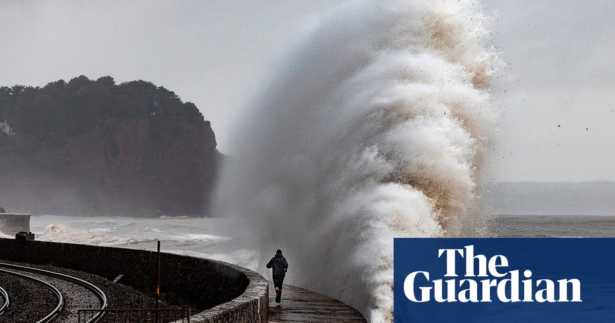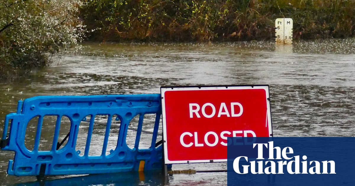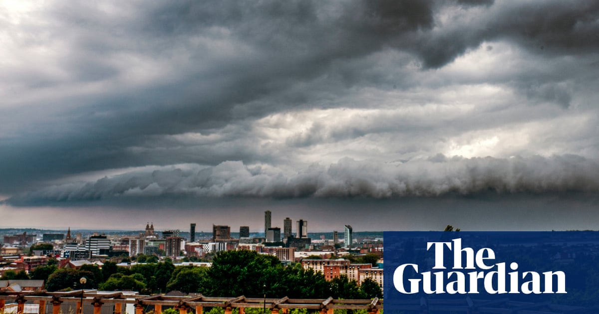
Warnings have been issued for potential flooding in central and eastern parts of England amid downpours that caused transport disruption in London.
As vehicles struggled through flood water on Tower Bridge and a section of the underground was closed, the office of the London mayor described the conditions as a reminder “that the dangers of climate change have moved closer to home”.
The Met Office issued a yellow weather warning for swathes of England and said that damage to homes and businesses, as well as disruption to rail travel, was a risk in areas stretching from London to Hartlepool in the north-east.
A flood warning, with “immediate action required”, was later issued by the Environment Agency for areas near the villages of Oakington and Westwick in Cambridgeshire as river levels rose and
Property owners with anti-flood barriers and other measures such as pumps were urged to activate them, while a separate alert warned of possible flooding in the nearby Cottenham Lode area.
Up to 25mm of rain was forecast, with some places expected to receive about 40mm in a few hours, as downpours moved north-eastwards, accompanied by thunder in a few places. The rain was expected to ease later in the day, before clearing after dusk.
Parts of Scotland, Wales and Northern Ireland were also expected to experience wet weather throughout the day.
The rainy weather was encapsulated by images shared on social media including video of flooding in central London, where traffic was delayed on major routes including the Blackwall tunnel.
“Not 100% sure how a *bridge* floods, but this was Tower Bridge just now,” said one Twitter user, surveying the scene from the top deck of a bus.
The scenes focused attention on the city’s flood defences, which were described as “vulnerable” by a London assembly member who warned hundreds of thousands of homes and businesses were at risk.
“London clearly isn’t ready for more frequent, more intense rainfall, as we’ve seen from the floods on Tuesday morning,” said Zack Polanski of the Green party. “We must move faster to make the most of the drains we have, plant more trees and green spaces to absorb heavy rain, and warn the 200,000 homes and businesses now known to be at risk of flooding from heavy rain in London, before it gets even worse.”
A spokesperson for the mayor, Sadiq Khan, said: “Flash floods cause concern and anxiety for many Londoners and it shows once again that the dangers of climate change have moved closer to home.
“Despite having limited powers in the area, it remains a key priority for the mayor and London’s council leaders that more is done to urgently tackle the risk of surface water flooding and the other impacts of climate change.”
The rain ruined day three of Surrey’s County Championship cricket match against Essex as umpires decided at lunchtime that further play was not possible due to conditions at the Kia Oval, while the third day of Derbyshire v Kent at Derby was also a washout.
Much of the UK experienced sweltering sunshine at the start of the month. Wales had its warmest September night on record, while temperatures in Scotland reached the highest since 1906.
Annie Shuttleworth, a Met Office meteorologist, said areas of the Midlands and north-east might have 40mm of rain on Tuesday before it eased in the south during the afternoon, with a low risk of thunderstorms to follow.
“We have seen the main body of rain move further north throughout the morning, and the rain will persist for the longest in north-eastern parts of England,” she said.
She added that Wednesday would bring drier weather across the UK, which should stay fairly settled with patchy sunshine predicted for the coming days.
The long-range forecast for September is uncertain but forecasters expect temperatures across the UK to be slightly higher than average for the time of year.
Tuesday’s temperatures of about 18C (64.4F) in London and 15C (59F) in Edinburgh will climb to about 21C and 18C respectively on Wednesday, Thursday and Friday.


