شركة رقمي
نقل من موقع 

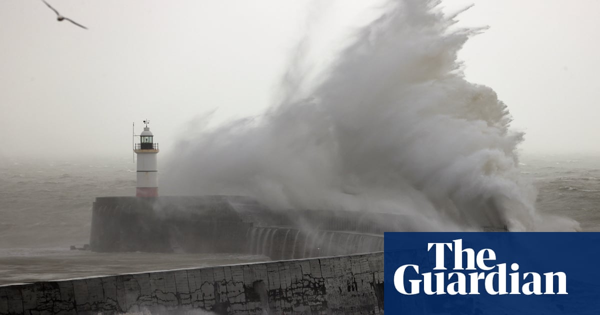
The unusually warm spell of weather, which included record temperatures over the new year, will come to an abrupt end overnight, plunging by up to 10C (a drop of 18F) across parts of the UK. The forecast follows the hottest new year’s weekend on record when 16.5C (61.7F) was reached at Bala, Gwynedd, on 31 December 2021 – a New Year’s Eve record for the UK and Wales, when it is usually about 7C. The Met Office has issued warnings for snow, ice and winds in northern and eastern Scotland, with the cold air affecting Scotland expected to sink south across the Pennines and into the Lake District, north Wales and the Peak District. These areas could get snow flurries. Tom Morgan, a Met Office meteorologist, said: “Compared to the 16C experienced in London over the weekend, for example, tomorrow it will likely be 6C or 7C. It’s not just the cold air which will make us feel so much colder – it’s also going to be the strength of the wind. When these factors are combined, the change will be a shock to the system.” An arctic chill will engulf most of the country by midweek, bringing frost and icy road conditions for many. “Factoring in the wind speed, in many areas of the country it will feel like -1C or -2C,” said Morgan. Northern parts of Scotland including the Highlands, Aberdeenshire and Moray are under a yellow alert for frequent snow showers and gale-force winds from 3pm until 6am on Wednesday. The Met Office warned of difficult driving conditions, especially on coastal and mountain roads. It said: “In combination with winds gusting 50 to 60mph at times, temporary blizzard conditions and some drifting of snow on higher level routes is likely.” With cold air spreading south across Scotland and bringing wintry showers, icy stretches are expected to form by late afternoon on Monday. In Orkney gusts could reach up to 80mph. Forecasters anticipate some train or bus services could be cancelled or delayed where flooding and spray caused by heavy rain occur. Though the Met Office has only issued warnings for Scotland, commuters in England and Wales returning to work on Tuesday could also see some snow, said Morgan. “There is a band of rain that could briefly turn to sleet or snow, around breakfast time to mid-morning. Seeing flakes of snow could be a surprise for many people, given how mild it has been.” Jack Cousens, the head of roads policy for the AA, said: “A mild start to the year will suddenly become cold and blustery over the coming days, with warnings of snow and ice in the Highlands. Drivers should make sure their cars are in good condition prior to setting off. Most breakdowns can be avoided by checking fuel, oil and coolant levels while ensuring tyres are undamaged and have plenty of tread. “Preparing for the worst is worthwhile, so keeping some warm clothes and coats in the car, along with some sweets and water are recommended.” The UK Health Security Agency urged people to check on vulnerable members of the public in the coming days, including elderly people and those with serious illness. The UKHSA consultant Agostinho Sousa said: “Cold weather can have a serious impact on health, particularly for older people and those with heart and lung problems, as it increases the risks of heart attacks, strokes and chest infections.”
مشاركة :