شركة رقمي
نقل من موقع 

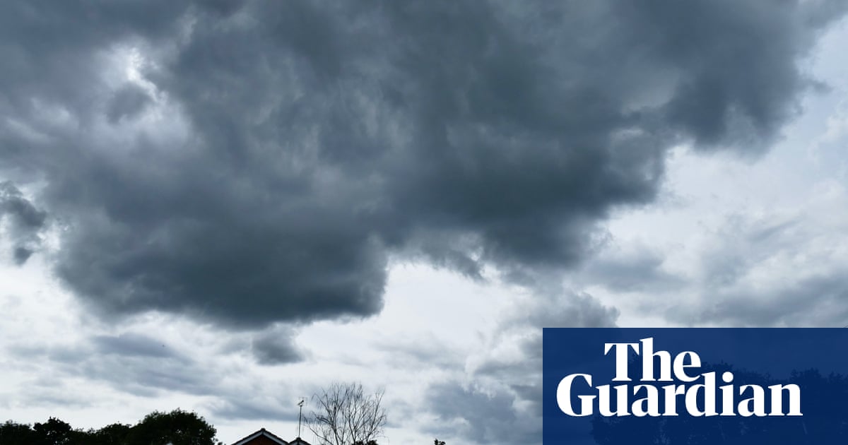
New South Wales has eight evacuation warnings in place for its central coastal region, including parts of Sydney, with forecasts of more heavy rain and the potential for flash flooding as a second east coast low looms in as many weeks. The Bureau of Meteorology issued a severe weather warning on Monday morning detailing the potential for more heavy falls: “Six-hourly rainfall totals between 70 and 120 mm are possible.” It said: “Heavy rainfall which may lead to flash flooding is forecast for the Mid North Coast, Hunter, Sydney Metropolitan area, Illawarra, South Coast, and parts of the Tablelands.” The NSW State Emergency Service has issued evacuation warnings for parts of the Hawkesbury-Nepean River, which continues to flow at major flood levels at North Richmond. Levels were steady on Monday morning. “We’re asking everyone to be extra vigilant over the next three days,” said Shellie Smyth, an SES spokesperson. “Probably Tuesday would be the major impact if an East Coast Low actually develops over New South Wales.” Dams around Sydney were at 99.9% full and most were spilling on Sunday. The largest of them, Warragamba Dam, has been spilling since Wednesday morning. Last week’s spill rate reached 315 gigalitres a day – it reached 450GL a day day during the March 2021 floods. Sydney and surrounds were forecast to have two more days of heavy rain, with falls approaching or exceeding 100mm possible. Flood evacuation warnings were in place for Wisemans Ferry, Picton’s central business district and parts of the Hawkesbury-Nepean River. Wollongong to the south of Sydney may collect even more rainfall. Lake Illawarra was another of the areas under an evacuation warning. The SES conducted 38 flood rescues in the past 24 hours, including 14 in the Sydney metro area.
مشاركة :