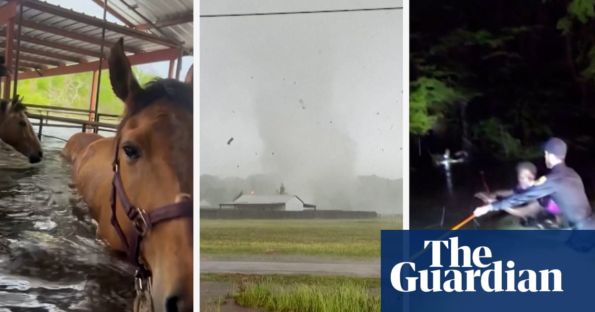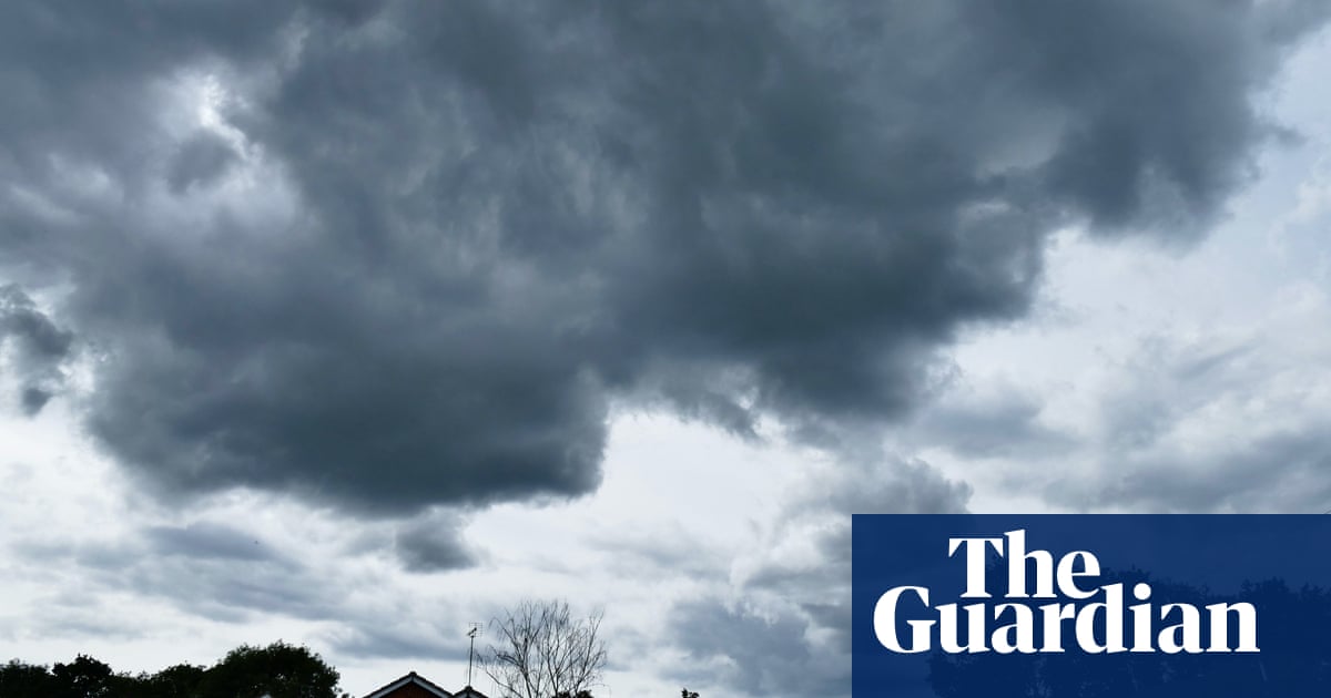
Thunderstorms and flash floods have hit parts of southern England, amid warnings that the unsettled weather is expected to continue into the weekend.
There were torrential downpours in London, with the rain spreading across the south-east until about 10pm. An amber warning for the area has been issued by the Met Office, with a risk of transport disruption and power cuts.
A yellow warning is also in place until midnight for much of southern England, with thunderstorms forecast across parts of Kent and Medway from midnight until 8am on Thursday.
Video footage posted on social media showed rainfall rapidly filling high streets in Stoke Newington and Stamford Hill in north London, as well as inside Victoria train station and the gym in the Houses of Parliament.
Town hall officials in Hackney warned residents that “severe flooding” meant they should “avoid” Stoke Newington in the east London borough and said it was working to clear drains and hand out sandbags.
The Met Office’s chief meteorologist, Steven Ramsdale, said: “Although not everyone within the warning areas will see the thundery downpours, where they do occur there’s a potential for some very large rainfall totals today.
“Despite the rain falling on some extremely dry ground, there’s a potential for surface-water flooding. Within the warning areas, potential impacts include the chance for some power cuts, difficult travelling conditions thanks to sudden changes in driving conditions and possible flooding of travel routes, homes and businesses.
“Hail and lightning could also be embedded within these systems, creating an additional hazard.”
The Met Office said the unsettled weather will continue through the weekend with sporadic showers for most of the UK and at times more consistent rain building in from the west and north-west.
Gatwick airport warned the weather conditions could cause flight delays, tweeting: “Air traffic control restrictions are currently in place across the south of England and parts of Europe due to poor weather conditions.
“This will unfortunately cause delays and cancellations to some flights today.”
The Environment Agency has issued 15 flood alerts, with up to 100mm of rain possibly falling in some areas.
Heavy rainfall led to roads across England, Wales and Scotland becoming flooded on Tuesday after weeks of unprecedented hot temperatures and tinder-dry conditions. Last month was declared the driest July in England for more than 100 years.
Worksop in Nottinghamshire recorded 93mm of rainfall between 5pm and 8pm on Tuesday, almost twice the average monthly rainfall of 54mm.
Nottinghamshire county council said that at least 30 homes and business premises in its region were affected and an eight-foot-wide sinkhole had been reported to have appeared in a Matalan car park.
Worksop leisure centre was put on standby as a rest centre in case properties needed to be evacuated and a tree was reported to have fallen in Carlton Road, according to the council.
There are pollution warnings in place at more than 40 beaches and swimming spots in England and Wales, after heavy rain overwhelmed the sewage system following months of little or no rain.
The south-west and south coast of England were the worst affected, according to data gathered by the environmental campaign group Surfers Against Sewage (SAS).
Swimmers are advised against bathing at seven beaches in Cornwall as a result of storm sewage overflows, with four in Devon and five in Dorset also polluted by the recent downpours.
Nine beaches in Sussex, three on the Isle of Wight and three in Essex were also hit by storm sewage.
Elsewhere, there were warnings in place at spots in Lincolnshire, Cumbria, Lancashire and south Wales, as well as two inland wild swimming spots near Bristol and near Minehead in Somerset.
An Environment Agency spokesperson said: “The current risk of surface water flooding reinforces the need for robust action from water companies to reduce discharges from storm overflows. We are monitoring the current situation and supporting local authorities where needed.”


