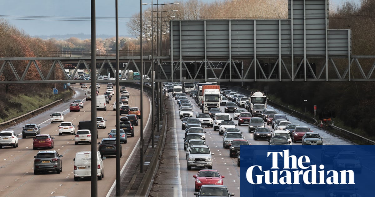
UK drivers are embarking on an estimated 20m car trips to see friends and family in the run-up to Christmas Day.
The RAC said traffic will build steadily from Monday before peaking on Friday and Saturday, which is Christmas Eve.
Pressure on the roads will be heightened because of a strike by thousands of members of the Rail, Maritime and Transport union (RMT) at Network Rail from 6pm on Christmas Eve.
Train passengers are being urged to complete journeys as early as lunchtime on that day, meaning many people will opt for car or coach travel instead.
The warning comes as temperatures will rise to as high as 14C in parts of the UK on Monday, and the warmer weather will bring a risk of flooding.
Most of south Wales, the south-west of England and some of the south-east is under a yellow warning for rain, with a chance of some flooding. There may also be surface-level flooding in other parts of the UK, as snow and ice on higher ground melts overnight.
There was also an amber warning for ice in place in the north of England on Sunday, with frozen rain and snow making travel conditions hazardous.
In the amber warning area, which covers most of Yorkshire, the north-east and the north-west, freezing rain could lead to the build up of 2-3mm of ice on untreated surfaces, the Met Office said, which could cause treacherous travel conditions and road closures.
“Obviously we’ve had some very cold air coming down from the north and the Arctic for a week, 10 days or so. But now we’re starting to see the Atlantic air coming back in from the south-west,” said Marco Petagna, a Met Office meteorologist.
“We’re set to see a big change into much milder weather, when we’re looking at temperatures in double figures.”
Sunday was a “transition day” he said, as the amber warning in the north of England was in place until midnight, with warming temperatures set to begin to thaw snow and ice overnight.
The west coast of Wales is predicted to have the warmest weather on Monday, reaching as high as 14C.
It is unusual to have a change in temperature from several degrees below average to several degrees above, said Petagna.
“Temperatures climbing overnight is an unusual feature. Obviously in the winter, we’d normally see temperatures dropping overnight but with the milder air coming in temperatures will climb.”
But the warm weather is unlikely to last until Christmas Day, the Met Office said.
Petagna added: “At the end of the week, there is a hint that we could get some cold weather coming back down from the north but there’s a lot of uncertainty about how far down south it will spread and how cold it will be. It’s a long way off and plenty can happen in the meantime.”
The RAC predicted 7.9m getaway journeys will be made over the two days immediately before Christmas Day.
The worst congestion on those days is expected to be between 10am and 7pm on Friday, and between noon and 1pm on Saturday.
Total traffic volumes will be far greater before the weekend as drivers getting away for the festive period compete for road space with commuters and everyday motorists.
This is likely to cause jams in cities and on main routes.
The transport analytics company Inrix expects journey times to be about 14% longer compared with the same period last year.
Roads likely to be hit by congestion this week include the M25, the M60 near Manchester, the M6 in north-west England and the M40 in Oxfordshire.
National Highways said it will ensure almost 98% of England’s motorways and major A-roads are fully open from 6am on Tuesday until the end of 2 January by either completing or lifting roadworks.


