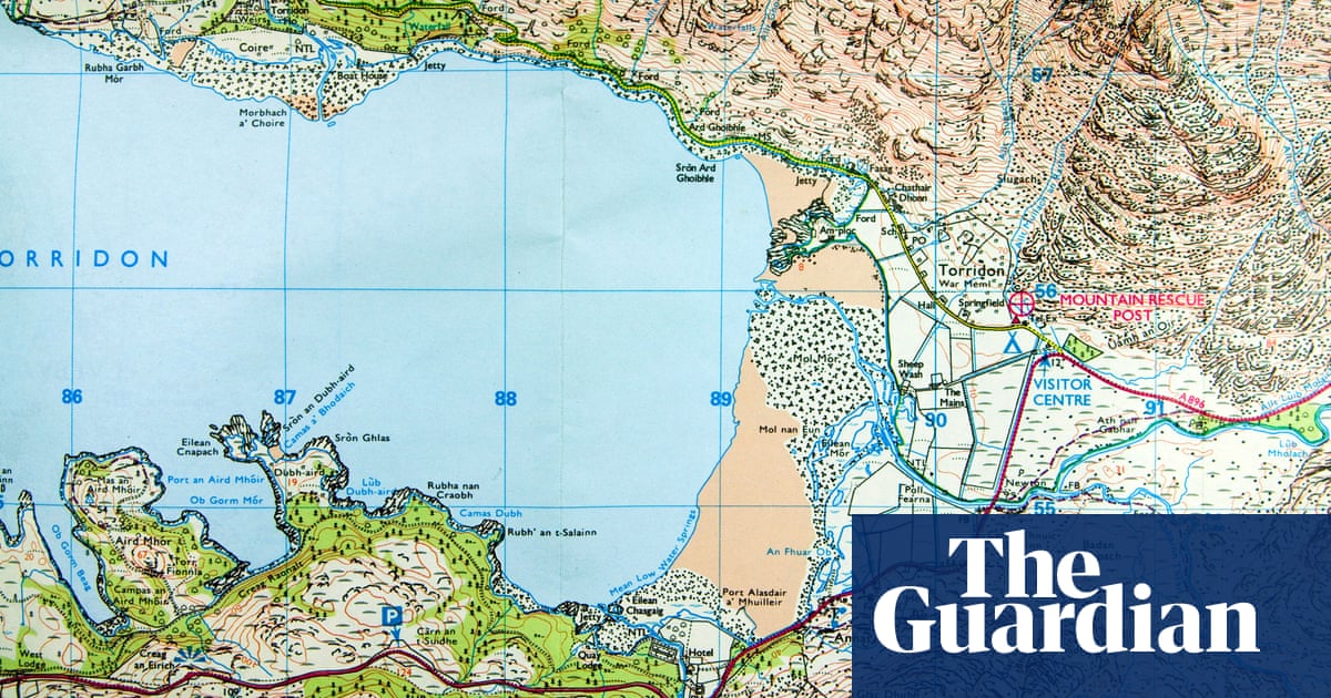
For more than 200 years, Ordnance Survey maps have featured symbols denoting everything from churches to battle sites. Now the agency is to consult members of the public on new symbols to bring the maps into the modern world.
It will run a project later this year to discover what the public would like to see on its leisure maps. It could be symbols for bike repair shops, cafes, dog waste bins, or jetties and safe river-access points for water sports.
“If you’re canoeing, it could be safe places on a river where you can launch your canoe or get to the water safely. Or for cyclists, the location of bike repair shops. So it could be very specific, tailored information,” a spokesperson said.
Ordnance Survey, known as OS, said the new symbols were intended to support people getting outside safely. It is suggesting updates such as marking accessible routes by showing paths with or without stiles, to help wheelchair and pushchair users.
The spokesperson said: “At OS, we want to make the outdoors enjoyable, accessible and safe and strive to ensure that our products inspire and enable people to get outside safely. Map symbols are an important part of our leisure products in assisting users to navigate and explore Great Britain. It is vital that that the symbols we use on these products support walkers and outdoor enthusiasts.”
In 2015, the mapmakers ran a competition for the public to design new symbols. These included signs for art galleries, skate parks, solar farms, kite surfing, public lavatories and electric car charging points.
OS said it did not have immediate plans to add the charging station symbol to its paper maps, because the market was “changing at a phenomenal pace”. It also has no plans to include information on 4G and 5G coverage, “due to the changing nature of the signal levels and the lack of defined boundaries”. But OS is supporting other companies with accurate data to visualise these.
“We can’t include everything on the leisure maps and need to be focused on the millions of people who use and rely on them,” the spokesperson said.
OS has its roots in 18th-century military maps and first published in 1801. It sells just under 2m copies of its paper maps each year, which makes up 5% of its business. Its app has 5 million users.
OS’s data is used by the government, emergency services, and private companies such as Garmin, Experian and Google.


