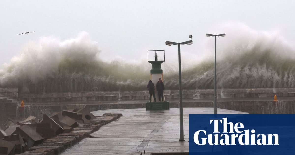
Sea surface temperatures (SSTs) reached a record high on 16 March this year, surpassing the previous record set in March 2016, according to an analysis by the US’s National Oceanic and Atmospheric Administration. This is particularly surprising as it occurred after three years of La Niña, where SST anomalies across the central and eastern Pacific tend to be cooler than normal. The previous record set in 2016 was recorded after an El Niño: this would be more normal as SSTs across the central Pacific are warmer than average and therefore have time to build warmth at the ocean surface. It means a particularly intense El Niño year or a long period of Pacific Ocean warming is no longer necessary to achieve record high global SSTs.
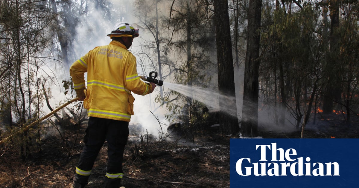
Meanwhile, in Australia a heatwave has been building throughout the past week, bringing scorching conditions across much of the country with many weather stations breaking their March maximum temperature records as well as their highest minimum temperature records. By Sunday, many areas of New South Wales in particular recorded temperatures in the high 30s and low 40s celsius. For example, Beaudesert Drumley Street, a station near Brisbane, registered a record high temperature for March of 38.4C on 17 March and Wilcannia reached a scorching 43.8C on 19 March. This hot spell is also not likely to break down completely until later next week with temperatures continuing into the high 30s celsius. With the addition of an El Niño on the horizon later this year, Australia could see the return of drought conditions.
At the other extreme, the once dry and sunny California will continue to experience low pressure systems from the west bringing rain, sleet and hill snow across the state throughout the coming week. By midweek, cumulative rainfalls are likely to reach 30-50mm with several more centimetres of accumulation expected on high ground. A huge portion of California has received about 300% of rain for a normal March, with closer to 500% in mountainous areas. Little let-up in the atmospheric river bringing these soggy conditions will probably make this year significantly wet and potentially record-breaking for the state.


