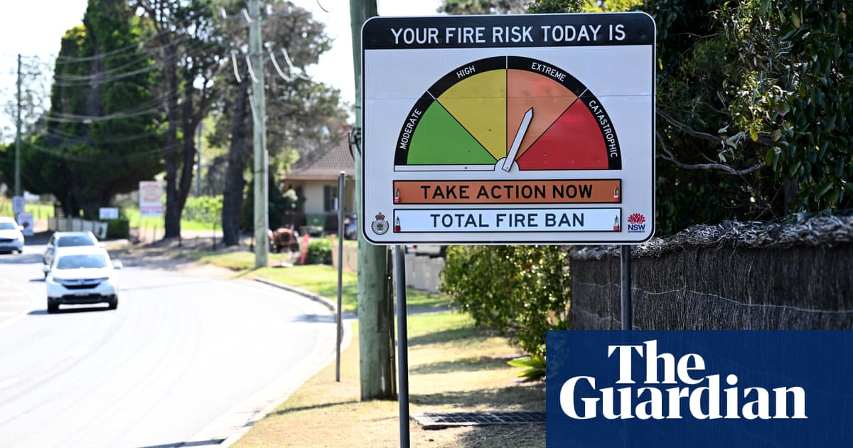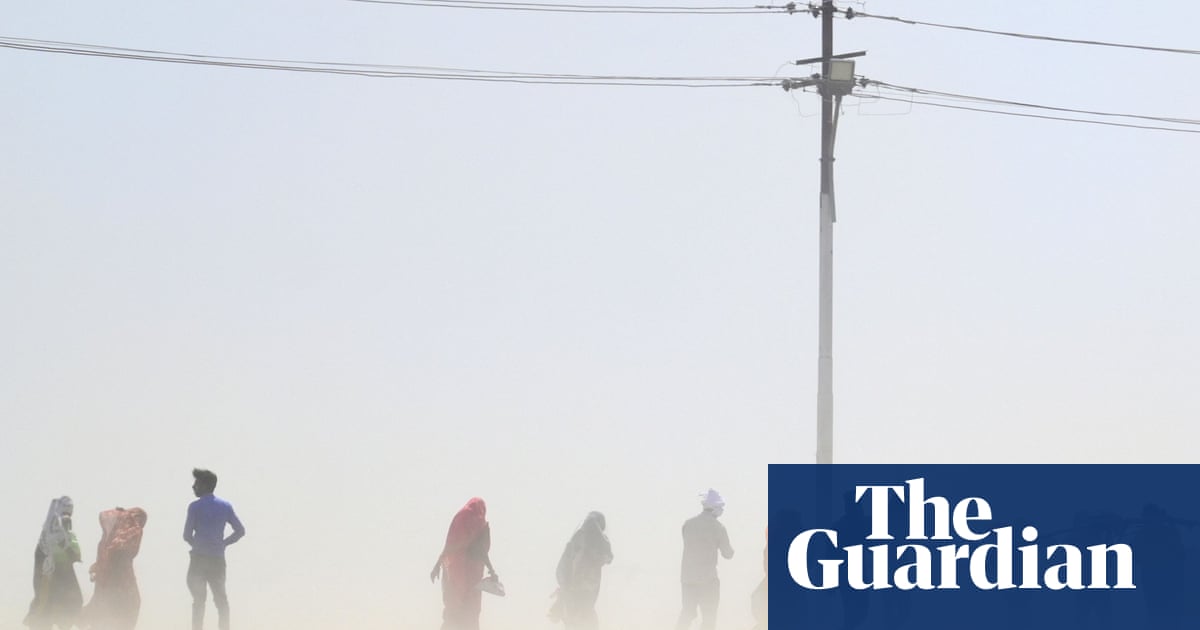
The Bureau of Meteorology has placed Australia on “El Niño alert”, warning there is now a 70% chance of the climate system developing before the end of this year.
El Niño tends to reduce rainfall and push up daytime temperatures in winter and spring, increasing the risk of bushfires, heatwaves and coral bleaching on the Great Barrier Reef.
An update by the bureau on Tuesday said there was now “roughly three times the normal chance” of an El Niño forming for the first time since 2016. It follows three back-to-back La Niña events, which are associated with higher rainfall and lower temperatures in eastern Australia.
The bureau had previously described Australia as being on “El Niño watch”. It said the change did not alter an existing forecast that there would be drier and warmer conditions across much of Australia this winter.
It said sea surface temperatures in the central and eastern Pacific Ocean were at least 0.8C above the long-term average – a key threshold for an El Niño to form. Seven international climate models surveyed by the bureau, including its own, suggested sea surface temperatures would continue to rise in the region in coming months.
Sign up for Guardian Australia’s free morning and afternoon email newsletters for your daily news roundup
Dr Tom Mortlock, a senior analyst at Aon and adjunct fellow at UNSW’s Climate Change Research Centre, said following the end of autumn “we can now be much more confident in El Niño model forecasts”.
“We know from the historical record that bushfire events are more likely during periods of El Niño, whereas floods and cyclones are less likely, but can still happen,” he said. “The concern now is that, with the long absence of El Niño and back to back La Niñas, the landscape is preconditioned for bushfire with significant fuel growth occurring.”
The bureau said all models suggested another climate driver, the Indian Ocean Dipole, may move into a positive phrase in winter. If so, this would typically further suppress winter and spring rain across much of Australia, and could exacerbate an El Niño’s drying effect.
There is evidence Australia has already started to dry after three straight years of above-average national rainfall. Last month was the country’s second driest May on record.
A study published last month suggested the climate crisis was likely already making El Niños and La Niñas more severe.
Abares, the federal agency responsible for agricultural science and economic research, warned winter crop production was expected to plunge by more than a third this year, largely due to reduced rain.
But the Abares executive director, Jared Greenville, said production was still expected to reach 44.9m million tonnes, making it the sixth largest ever. “We’re expecting agricultural production to pull back from what has been a peak for quite some time,” he told AAP.
The Victorian Farmers Federation urged its members to prepare for drier conditions.
“Farming is cyclical and the best preparation for the tough times is done when the going is good. That time is now and there’s no time to waste,” the federation’s Emma Germano said.
“For drier times, that means prioritising drought preparedness, sustainability, resilience and risk management for farming businesses and communities well ahead of when drought strikes.”


