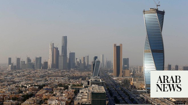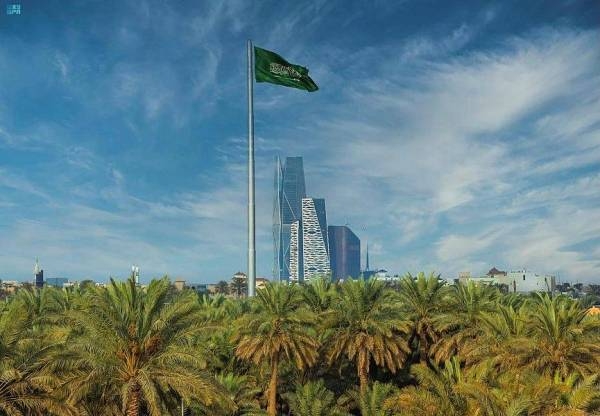
RIYADH: In recognition of the Kingdom’s growing role in strengthening global partnerships, the UN Committee of Experts on Global Geospatial Information Management has selected the Saudi capital Riyadh to host the headquarters of its center of excellence.
The UN’s Global Geospatial Ecosystem Center of Excellence will undertake research and development in integrating geospatial data with digital transformation, artificial intelligence, digital twins, and the Internet of Things to ensure a sustainable geospatial ecosystem for the future, the Saudi Press Agency reported.
According to the UN, geospatial is defined as “the ‘data’ that is associated with a particular location, captured via varied technologies inclusive of earth observation (remote sensing, drones, aircraft), Global Positioning Systems, Global Navigation Satellite Systems, and scanning tools.”
The excellence center will also host international forums aimed at developing the geospatial ecosystem locally, regionally, and globally, the SPA reported.
Upon the achievement of this feat, Mohammed bin Yahya Al-Sayel, president of Saudi Arabia’s General Authority for Survey and Geospatial Information, thanked King Salman and Crown Prince Mohammed bin Salman for their unlimited support to build geospatial information in the Kingdom.
He also added that the move to manage global geographic information and build geospatial information is aligned with the goals outlined in Saudi Arabia’s Vision 2030 which aims to expand the scope of geographical information to support health, education, and other government services.
The new center will also conduct training programs to increase the knowledge and expertise in the geospatial ecosystem, the SPA report further noted.
During a high-level meeting held at the UN headquarters in New York last week, a Saudi delegation represented by GEOSA proposed ways to implement the strategic goals of the Arab Committee of UN Experts for Geospatial Information Management for the benefit of all countries.
At the second meeting of the High-Level Group of the Integrated Geospatial Information Framework on Aug. 1, the delegation highlighted the contributions of the Arab committee, which is chaired by the Kingdom through its geospatial authority.
They discussed ways to enhance communication among member states to overcome challenges and achieve impactful results.
In 2015, Saudi Arabia represented by GEOSA, was elected as chair of the Arab Committee of United Nations Experts for Geospatial Information.


