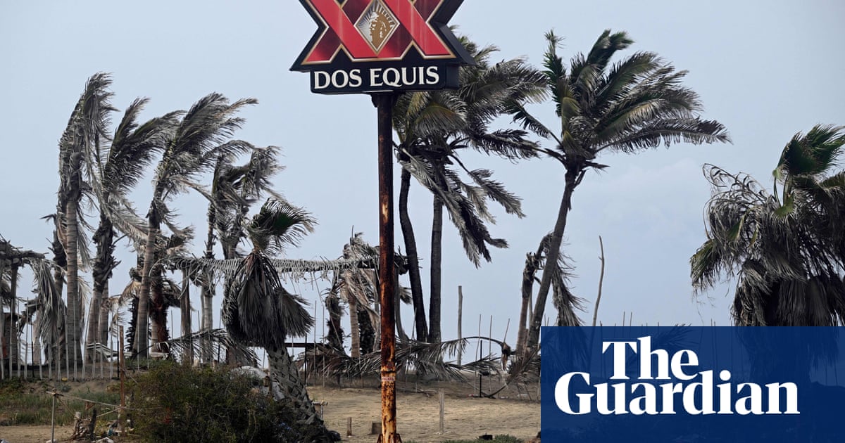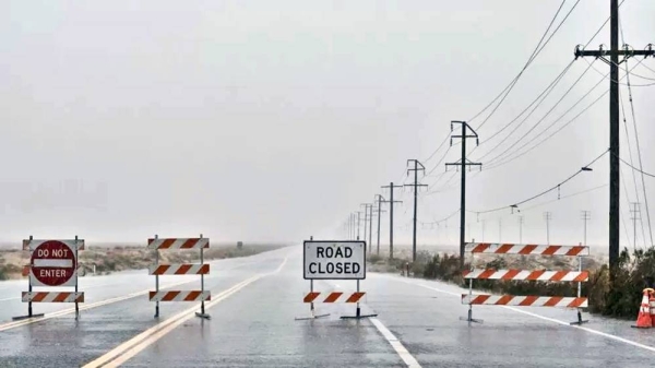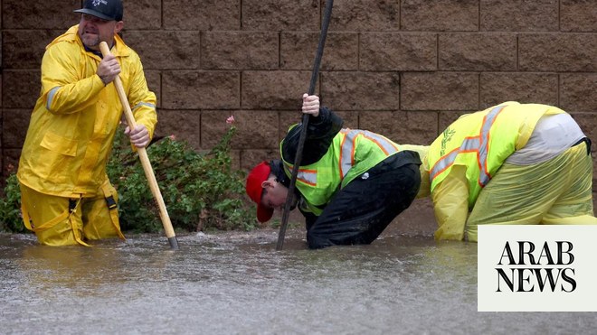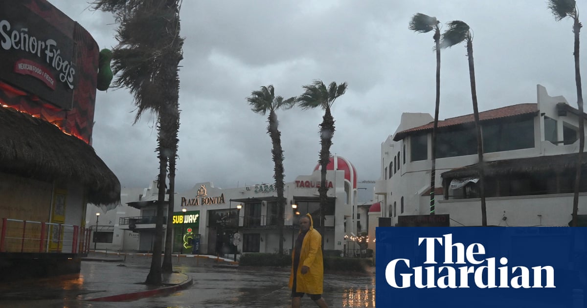
Tropical Storm Hilary made landfall in Mexico over the Baja California peninsula on Sunday and is expected to head towards the US south-west until Monday as authorities warn of life-threatening and catastrophic flooding.
Despite weakening to tropical storm, the storm was still packing winds of 80mph as it approached the south-western US, with “catastrophic” flooding expected to follow landfall.
Evacuations were underway in many areas, including Baja California and in the mountains and foothills of San Bernardino county, in California. Experts predicted life-threatening floods and landslides, while some desert regions could receive two to three years’ worth of rain in three days.
“People need to take the storm seriously, they need to listen to their local officials, and they need to make sure that they’re not putting themselves in harm’s way as the storm passes through,” Deanne Criswell, administrator of the Federal Emergency Management Agency (Fema), told CNN’s State of the Union.
“Hurricane Hilary is going to be a serious impact and threat to southern California.”
It would be the first tropical storm to hit the south of the state in 84 years, extending a summer of extreme weather that experts are tying to the climate crisis.
At least 114 people are known to have died in the Hawaii wildfire, the deadliest in modern history, with hundreds more missing. Evacuations were ordered in Washington state, where a blaze was expanding unchecked near the city of Spokane. And officials in Canada warned of a “life or death situation” in British Columbia, where tens of thousands were urged to evacuate ahead of wildfires described as severe and fast-changing.
Meanwhile, the central US is breaking heat records with Texas expected to reach triple digit temperatures this week. The National Weather Service issued an excessive heat warning on Sunday for portions of Texas, Louisiana, Arkansas, Oklahoma, Kansas, Missouri, Illinois, Iowa and Nebraska. Heat advisories or watches were also in place in parts of Alabama, Mississippi, Tennessee, Kentucky, Indiana, Wisconsin, Minnesota and South Dakota, the Associated Press reports.
“We’re seeing just this increase in the number of severe weather events but not just in the number, but the severity of these events,” Criswell said.
The National Hurricane Center (NHC) warned in an update early on Sunday that heavy rainfall from Hilary was about to begin in southern California, which last experienced a tropical storm in 1939, with Nevada, Utah and Arizona also experiencing effects.
According to the NHC, intense heavy rainfall associated with Hilary is expected across the south-western United States through early Monday morning, with total rainfall amounts expected to reach 3 to 6in and isolated maximum amounts of 10in.
“The potentially historic amount of landfall is expected to cause flash, urban and arroyo flooding including landslides, mudslides and debris flows,” the NHC morning advisory said.
“Dangerous to locally catastrophic flooding impacts are expected through Monday morning. Gusty winds are expected to spread well inland across the western US.”
The NHC also warned that a dangerous storm surge is likely to produce coastal flooding along the western Baja California peninsula of Mexico near where the center passes the coast in areas of onshore winds, or east of the center when Hilary makes landfall.
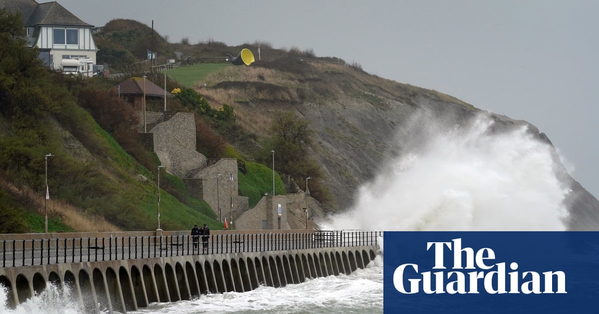
It added that the surge will be accompanied by large and destructive waves. Large swells generated by Hilary will affect parts of the Baja California peninsula and southern California over the next day or so, with the NHC warning that the swells are likely to cause life-threatening surf and rip current conditions.
Tornadoes are possible through this evening over south-east California, western Arizona, southern Nevada and far south-west Utah, warned the NHC.
In Mexico, one person drowned on Saturday in Santa Rosalia, on the eastern coast of Baja California Sur, when a vehicle was swept away in an overflowing stream. Video posted by local officials showed torrents of water coursing through the town’s streets.
About 300 miles (480km) of the western coast were under a hurricane warning on Sunday, from Punta Abreojos to Cabo San Quintin.
The NHC was also monitoring five weather systems in the Atlantic with potential to develop into tropical storms. The most westerly, close to the Florida Keys in the Gulf of Mexico, had a 50% chance of forming a storm that could threaten Texas, forecasters said.


