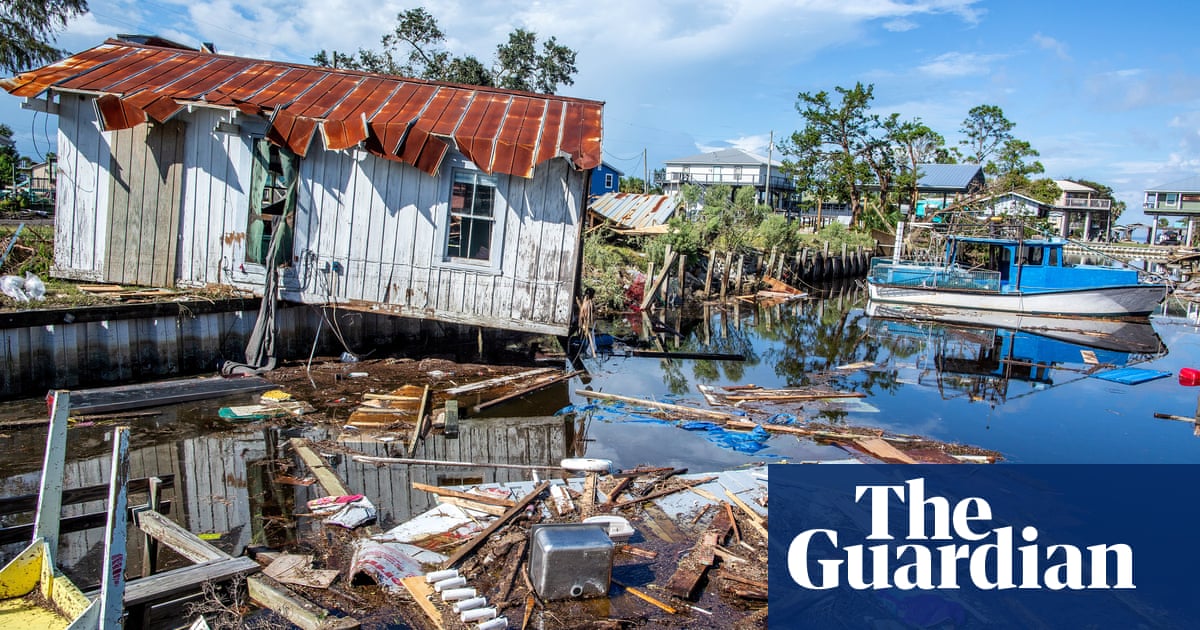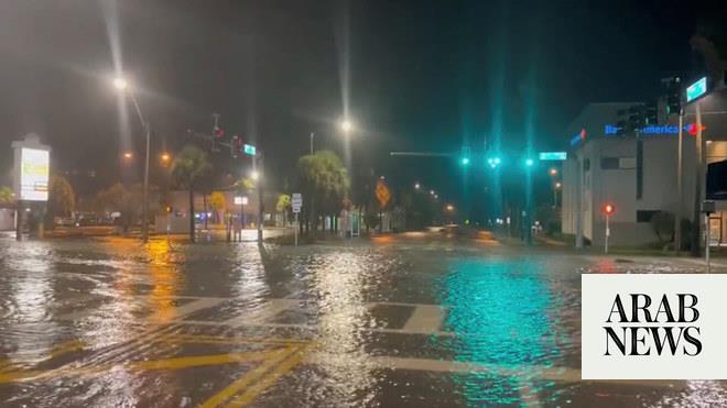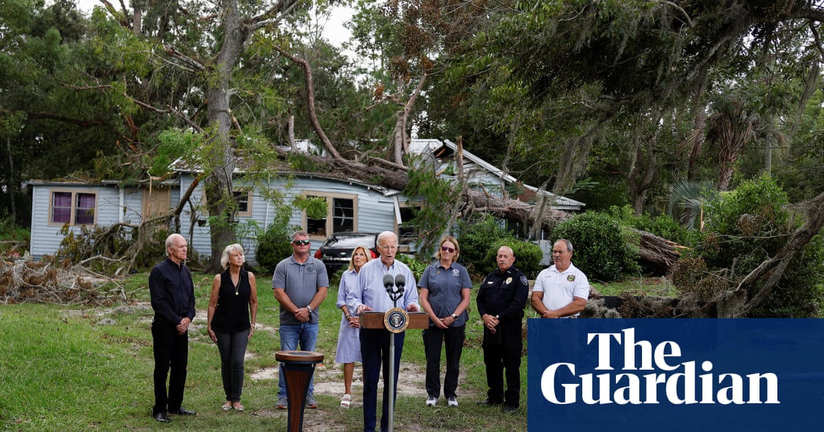
Hurricane Idalia struck northern Florida on Wednesday, bringing damaging winds and torrential rain. It made landfall near Keaton Beach on Florida’s Big Bend during the morning as a high-end category 3 hurricane, bringing sustained winds speeds near 125mph (200km/h) and a storm surge of 16ft along Florida’s north-west coastline.
Due to very warm sea surface temperatures, the storm strengthened rapidly over the Gulf of Mexico to category 4 status, before weakening to category 3 as it made landfall. It brought extensive flooding as it passed through and damaged power lines, leaving thousands without electricity.
The Florida highway patrol attributed two deaths from car crashes during heavy rainfall to the hurricane. On Wednesday afternoon, Idalia had weakened into a tropical storm as it descended through Georgia and South Carolina. The storm moved across the coast of North Carolina through Thursday, bringing heavy rain and coastal flooding, before gradually clearing to the Atlantic on Thursday night.
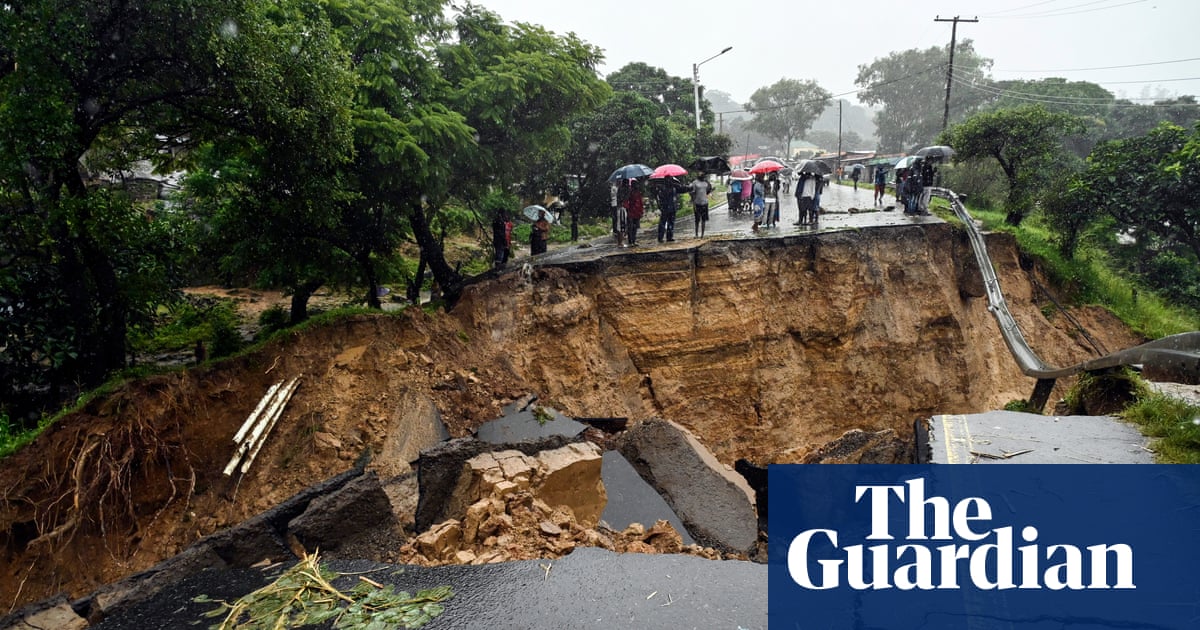
Earlier in the week, southern parts of France and northern Italy were hit by heavy spells of rain and strong winds as a deep area of low pressure swept across the region, which the Italian Meteorological Service named Storm Rea. The system had brought severe thunderstorms and strong winds across Spain’s Mediterranean coastline and the Balearic islands on Sunday before moving into northern Italy on Monday. It caused significant disruption to transport in northern regions of Lombardy and Piemonte and there was some flooding in Trieste.
Typhoon Saola passed by the Philippines and the south of Taiwan. On Wednesday afternoon, the centre of the typhoon was located 215 miles south-west of the southernmost tip of Taiwan and according to the Taiwan Central Weather Bureau, had sustained winds speeds of 118mph and gusts of up to 145mph.
Although the typhoon did not hit Taiwan directly, the outer bands brought spells of heavy rain and strong winds, resulting in travel disruption to southern regions. Saola is advancing towards Hong Kong and China and is expected to make landfall on Friday afternoon or evening. This has prompted China’s national observatory to renew a red alert, the highest level in its four-tier typhoon warning system.


