Where has Storm Babet come from?
Areas of low pressure have been pushing northwards across France, through the Channel and towards the UK and Ireland. According to Metdesk, strong winds from an east to south-easterly direction as opposed to the usual south-westerly direction that prevails across north-west Europe, are due to hit eastern Scotland and many eastern counties of England.
On Wednesday, the Met Office issued a red weather warning for parts of eastern Scotland.
What are the expected impacts?
The Met Office’s chief meteorologist, Jason Kelly, says: “Eastern parts of Scotland will see exceptional amounts of rainfall over the next few days and the significant accumulations are likely to cause considerable impacts from Storm Babet.
“Numerous amber and yellow rainfall warnings are in place for rainfall over the coming days, up to and including Saturday, but in the red warning area 100-150mm of rain is expected to fall quite widely, with some locations possibly seeing 200-220mm, which is expected to cause considerable impacts, with flooding likely.”
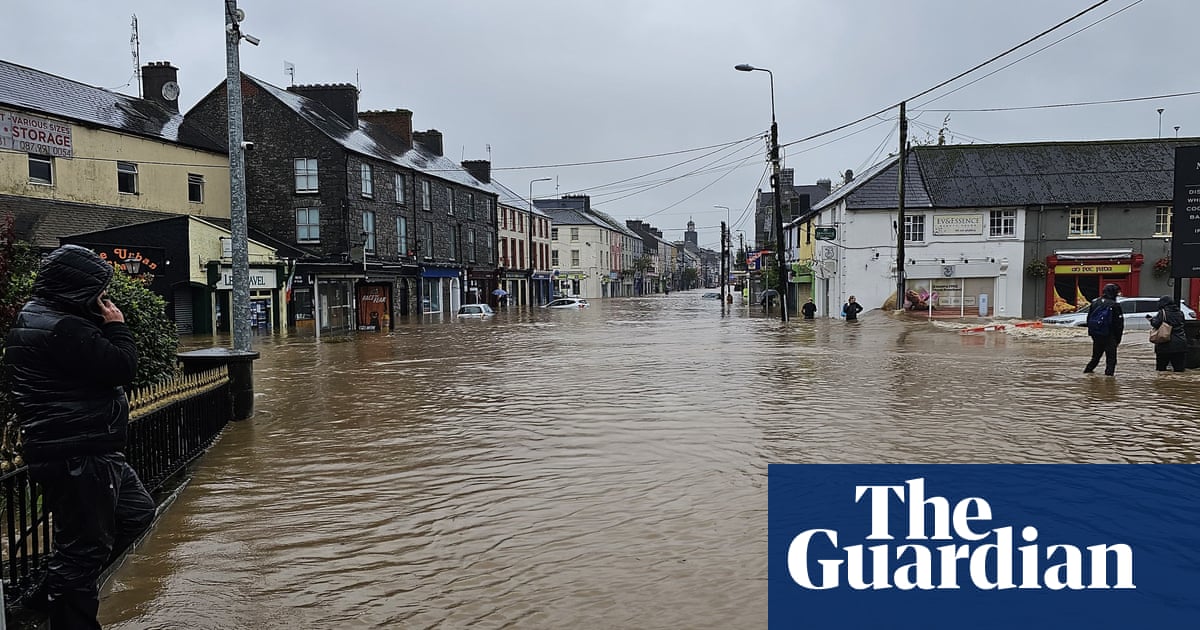
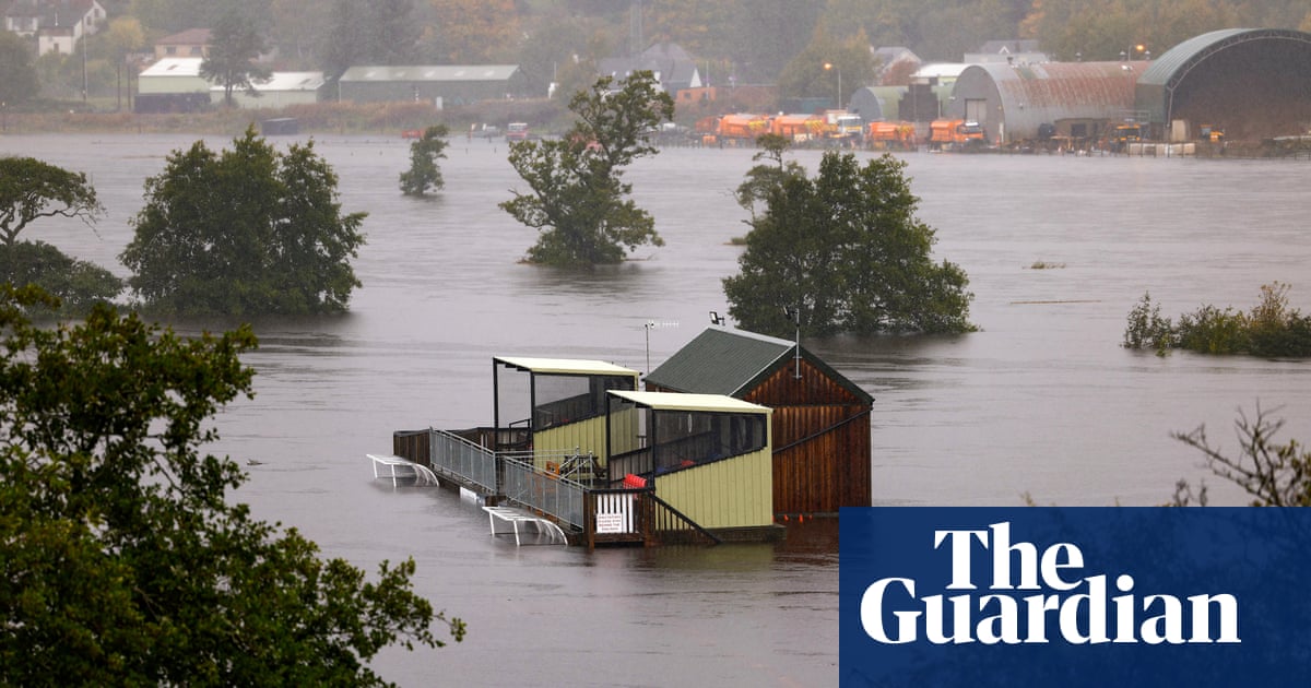
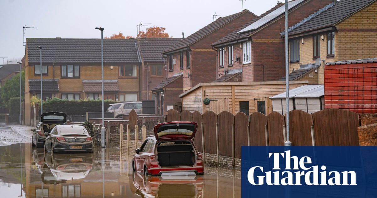
There are warnings of the possibilities of a danger to life from floodwater, extensive flooding to homes and businesses and severely disrupted travel conditions.
Which areas will be worst affected?
The latest Met Office red weather warning covers Aberdeenshire, Angus, Dundee, and Perth and Kinross. The warning is in place from 6pm on Thursday until noon on Friday.
What level of rainfall is expected?
Some locations may see 200-250mm of rain, which is heavy, even for Scotland. The record for the most rain in one day was in 1974, when 238mm fell at the Sloy power station by Loch Lomond.
How often are red warnings issued?
According to the Met Office, red warnings are relatively rare as they are reserved for the most extreme weather impacts. Normally only one or two would be issued a year. This is the first red warning in 2023.
How many red warnings have been issued?
Of the dozen or so red warnings issued from 2011 to 2018, according to Metdesk, the vast majority were in December and January.
There was a red warning for rain when Storm Dennis hit Wales in 2020, and one for wind in 2021 when Storm Arwen ran down the east coast of the UK.
In July 2022 a red warning for extreme heat was issued in central and southern England, and earlier that year Storm Eunice triggered two red warnings for wind, covering areas of south-west and south-east England.
Is the storm related to climate breakdown?
It is too early to make an assessment of that kind. However, extreme rainfall is more common and more intense because of human-caused climate breakdown across most of the world, particularly in Europe, most of Asia, central and eastern North America, and parts of South America, Africa and Australia.
Flooding has most likely become more frequent and severe in these locations as a result, but is also affected by human factors, such as the existence of flood defences and land use.


