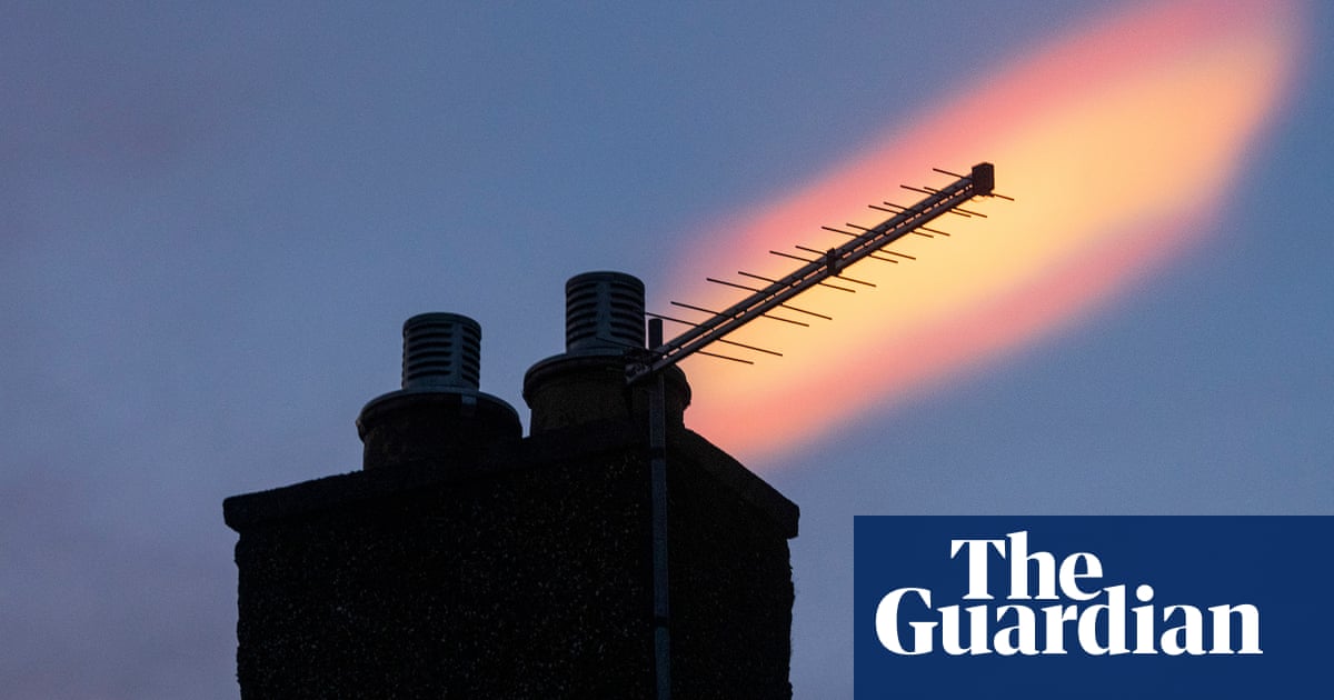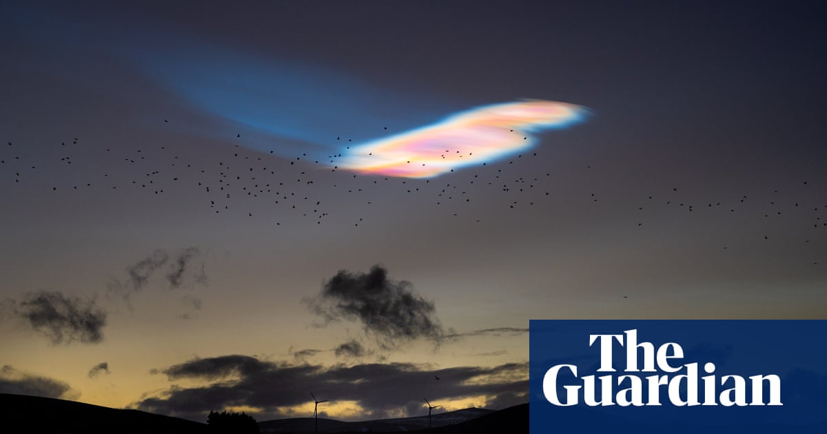
Weather watchers have captured images of rare iridescent clouds over Scotland, northern England and the West Midlands, with some people likening them to UFOs.
Nacreous clouds, which resemble mother of pearl, usually develop in extremely cold air above the polar regions, but were spotted on Tuesday over Edinburgh, Fife, Staffordshire, Merseyside, Lincolnshire and Cheshire.
The polar stratospheric clouds, which form only below -78C, are best known for the beautiful pastel light they reflect after sunset and before sunrise.
The effect, reminiscent of a thin layer of oil on top of water, is produced as the sunlight diffracts around the tiny ice crystals inside them.
Forecasters and people in Scotland and England posted photos and videos of the rare clouds on X.
In response, BBC meteorologist Tomasz Schafernaker tweeted: “Great shots of recent #NacreousClouds. They can be extremely high – three times higher than an airplane at cruising altitude. Nacreous clouds are in indicator of especially cold air high in the atmosphere.”
Because of the very low temperatures required for their formation, the clouds are usually seen over Scandinavia, northern Canada and northern Russia.
According to the Met Office, they are usually seen over the UK only when the cold air that circulates around polar regions in the stratosphere – known as a polar vortex – is displaced and hovers temporarily over the UK. They were last seen over Scotland in January.
Met Office spokesperson Stephen Dixon said: “Nacreous clouds are quite rare in the UK and are very high clouds. They can make good spectacles for viewers as they reflect coloured light from the sun, often after sunset and before sunrise.
”These clouds form over the polar regions and are made of smaller ice particles than those that form more common clouds. These small particles help to scatter light in a different way, which gives them their unique appearance.”
The forecast for the UK in the run-up to Christmas is less wondrous. The Met Office has issued a warning for high winds across the northern half of the UK on Thursday, bringing the potential for travel chaos.
An area of low pressure well to the north of the UK will bring winds of 70-80mph in northern Scotland, 65-70mph on high ground, and 45-55mph elsewhere in Northern Ireland, Scotland, north Wales and England north from Birmingham as well as the top half of East Anglia.
The Met Office has issued a yellow wind warning from midnight to 9pm on Thursday, meaning travel disruption is likely and power cuts are possible.
The low pressure system has been named Storm Pia by the Danish authorities, but it was not expected to be severe enough in the UK to warrant being officially named.
Dixon said: “Gusts are forecast quite widely to be 45-55mph, possibly 65-70mph to the east of high ground in Scotland.
“The strongest winds are likely to be found in the north and north-east of Scotland including the Northern Isles, with 70-80mph in the morning.”
The Met Office also forecast showers with the wind, with more rain expected on Friday.
Dixon added that there was the possibility of snow on Christmas Day but only in the far north of Scotland.


