Tropical Storm Debby made its second US landfall early Thursday – this time in South Carolina – after looming over the Atlantic Ocean, and is unleashing more torrential rains, tornadoes and destructive flooding as it marches northward through the rest of the week, inundating several already-soaked states.
Debby made landfall near Bulls Bay, South Carolina – some 20 miles northeast of Charleston – with maximum sustained wind speeds of 50 mph as it crawled further inland at 5 mph, the National Hurricane Center said shortly before 2 a.m. ET.
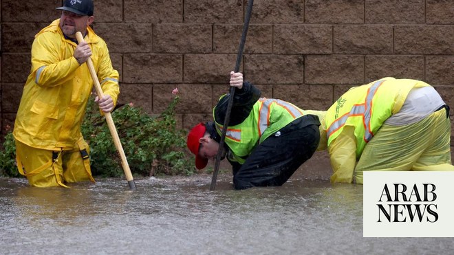
Since crashing into Florida as a Category 1 hurricane on Monday, Debby has dumped more than a foot of rain over parts of Florida, Georgia and South Carolina and killed at least five people. The deluges have engorged rivers, flooded roadways and trapped people in cars, homes and boats – and potentially dangerous heat is expected across the region in the coming days, threatening to complicate the recovery process.
Even more chaos is on the horizon as the storm, a reflection of the amplifying consequences of human-fueled climate change, heads toward the Northeast. Here’s the latest:
• Debby’s current path: The storm will finally begin to pick up speed. It is on track to move into North Carolina by Thursday evening and into northern Virginia by Friday morning. Debby is then forecasted to accelerate into Pennsylvania and New York by Friday evening and through New England by early Saturday afternoon, bringing heavy rains and flash flooding to a region drenched by storms earlier this week.
• ‘Be prepared for a deluge,’ North Carolina governor says: Gov. Roy Cooper warned residents Wednesday to brace for major rain and flooding. “All North Carolinians across our state need to be prepared for a deluge,” Cooper said, describing the incoming threat as “more rain than most of us see in a month, or even several months.” Rainfall totals across the state could reach as high as 15 inches and South Carolina could see totals approaching 25 inches. Dangerous rip currents and storm surges of up to 3 feet are possible along the Carolinas’ coasts.
• At least 10 tornadoes confirmed: Debby has whipped up at least 10 tornadoes confirmed by the National Weather Service as of early Thursday. That includes four tornadoes in Florida, four in South Carolina and two in North Carolina. The service warned of a tornado in Snow Hill, North Carolina, early Thursday, describing it as “large, extremely dangerous and potentially deadly.” About 30 miles north, in Wilson County, a tornado scattered roads with debris and damaged buildings, including a middle school, a church and four homes, officials said. There were no injuries reported, county officials said in a social media post early Thursday.
• Tornado watch issued in North Carolina and Virginia: A tornado watch has been issued for parts of eastern North Carolina and southeastern Virginia. More than 5 million people are impacted, including the cities of Raleigh and Virginia Beach. “The tornado threat with Debby is expected to gradually expand northward and somewhat westward through midday, while lingering for several more hours,” the Storm Prediction Center said. Tornado warnings have been issued across portions of North Carolina early Thursday. Damage has been reported in Wilson, Wade, Nash and Green counties.
• Disaster declarations across the Southeast: President Joe Biden has approved disaster declarations for Florida, Georgia and the Carolinas – all of which have been pummeled by Debby this week. More than 700 Federal Emergency Management Agency personnel have been deployed to the Southeast, and search and rescue teams are on standby to assist as needed, the agency said Wednesday.
• Georgia dam at risk of ‘imminent failure’: A dam in Bulloch County, Georgia – about 50 miles northwest of Savannah – is in danger of “imminent failure” as a result of Debby’s torrential rainfall, the National Weather Service in Charleston, South Carolina, said. Parts of the county have already suffered serious flooding, requiring water rescues in a mobile home park. But if the dam breaks, communities immediately downstream are at the greatest risk for more flooding and may be asked to evacuate.
• Triple-digit heat in store for Southeast: Potentially dangerous heat has been hovering over the Southeast in Debby’s wake and is expected to persist Thursday and through the weekend as storm recovery continues. While high temperatures in the upper 80s and lower 90s are expected, the heat indices – how the body feels under combined heat and humidity – could exceed 110 degrees. The heat index in Steinhatchee, Florida, near where Debby made its first landfall, could hit 113 degrees on Thursday.
Debby’s deluge has been a clear illustration of the impact of global warming caused by fossil fuel pollution, which is causing storms to get wetter and strengthen more quickly. Debby, for instance, tracked through near-record warm waters in the Gulf of Mexico, which helped it rapidly intensify before making landfall as a hurricane in Florida.
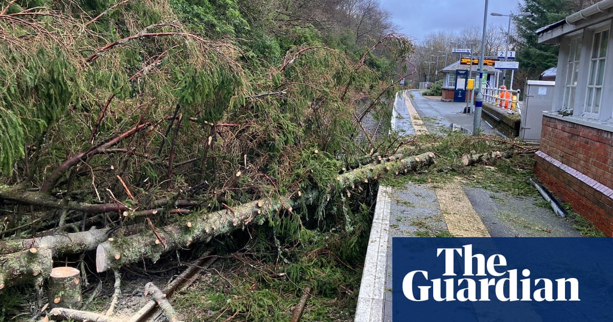
As Debby has churned through the Southeast, the storm has left behind disastrous scenes. Homes have been shredded by winds and swamped by floodwaters, and roads have been washed out or submerged, creating hazardous conditions for impacted communities.
In South Carolina’s Lowcountry, a home in Bluffton has become an alligator’s paradise as floodwaters turned Adrienne LeBlanc’s yard into an inviting swampland.
Though LeBlanc is no stranger to alligators – often seeing them sunbathing in the distance – she was surprised to wake up after heavy rains Wednesday to discover her backyard had been invaded by alligators.
“It’s like National Geographic in our backyard right now,” LeBlanc told CNN. She counted eight alligators swimming around her house and saw a few of them wrestling.
“Jokingly I told my husband, ‘When I wake up tomorrow that bad boy is going to be in our bedroom,’” LeBlanc said.
After 17 years of living in Bluffton, LeBlanc said she has experienced this level of flooding once – when Hurricane Matthew made landfall in the state in 2016.
South Carolina hasn’t seen a named storm make landfall on its shores since Hurricane Ian’s arrival in 2022 as a Category 1 storm. The last named storm to track across the state in any fashion was Tropical Storm Idalia in August 2023. — CNN


