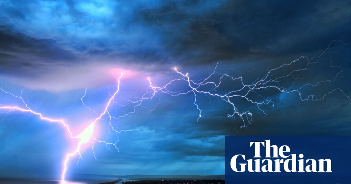
The UK’s recent Indian summer has abruptly ended after intense thunderstorms swept the country over the weekend, with severe weather warnings for rain continuing into Monday across most of England and Wales.
Forecasters warned the public to be wary of flooding, with the potential for some communities to be cut off by flooded roads and a chance of power cuts, amid yellow and amber warnings for rain on Monday.
Three roads in Northampton were closed on Sunday and cars were left stranded by surface water flooding that also led to the postponement of a number of events, including a charity cycle ride and the Sywell classic car and airshow.
Thousands of households also experienced power cuts over the weekend in areas including Tewkesbury in Gloucestershire and parts of North and West Yorkshire. A tornado caused damage to properties and felled trees in the Hampshire town of Aldershot on Saturday.
Fire crews in the West Midlands also attended homes in Telford and Stoke-on-Trent that had been struck by lightning, the latter dramatically captured on a home security camera. Residents were evacuated from the town of Longton in Stoke. One told the press: “We’d only just got home. It was about 5.30pm and we heard a massive bang. A car stopped outside and the driver shouted that the roof was on fire. I think about four homes, including ours, were evacuated. We’ve all been sat in one of the neighbours’ houses.”
Warm, humid weather in Wales and the south of England continued to be peppered with thunderstorms. More than 13,000 lightning strikes had already occurred in the UK by Sunday morning, meteorologists said, signalling the end of a recent, short summery spell.
Meteorologists predicted thunderstorms overnight in the south-east of England on Sunday would travel further north on Monday, with the most intense downpours across the Midlands, before heading into the north and south-west of England.
Monday will bring more thunderstorms and an amber weather warning stretching from the West Midlands through South Yorkshire to the East Yorkshire coast, parts of which could have 100-120mm of rain, with the weather clearing in the south-east of England.
A yellow warning is in place across most of England and Wales for Monday, sparing the most western parts of Wales and the south-west of England, with the north-east of England and the far north-west mostly spared. The weather was expected to be largely cloudy further north, with patchy rain in northern Scotland, the Met Office said.
Later in the week, the equilux – where the days and nights are the exact same length – will occur on Tuesday, when the storms will dissipate, leaving wet and windy weather from Wednesday. Friday will feel more autumnal, as arctic air brings temperatures of 11-12C, below the average for the time of year.
The Met Office meteorologist Jonathan Vautrey said: “With Sunday marking the autumnal equinox, summer has now officially come to an end and it ended with a bang for some of us.”
He added: “We do then have a rain warning in force throughout Sunday for this band of rain that’s going to be moving across Wales, central southern areas of England. Some very heavy pulses are possible with some surface water issues, travel disruption, so it is worth taking care if you are out and about or travelling during the day.”


