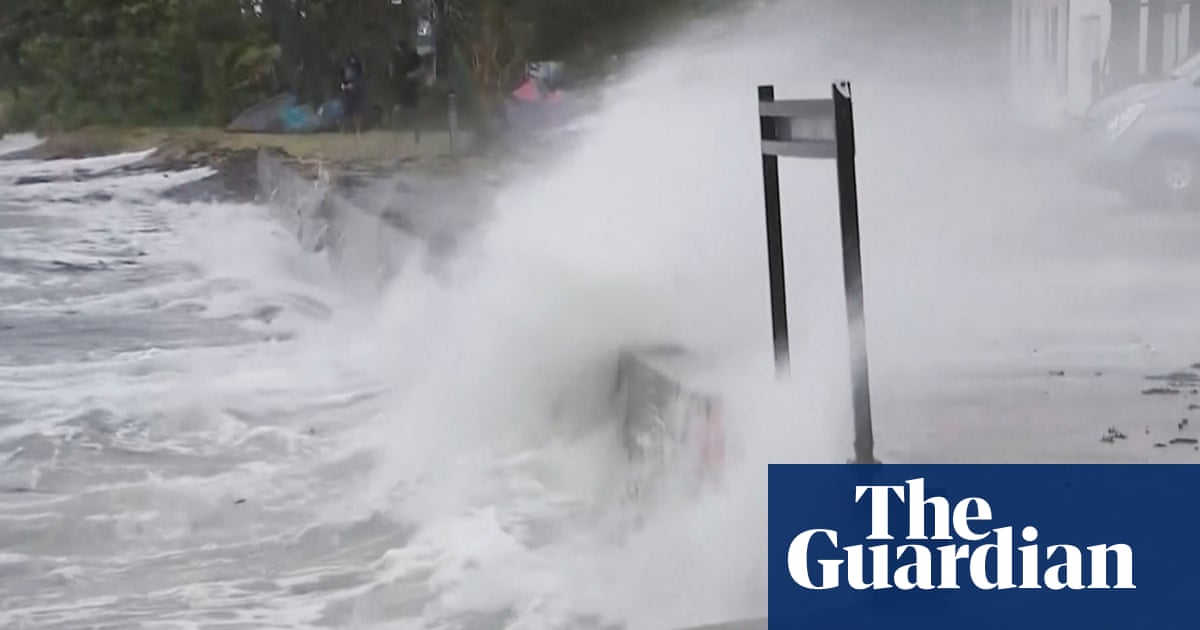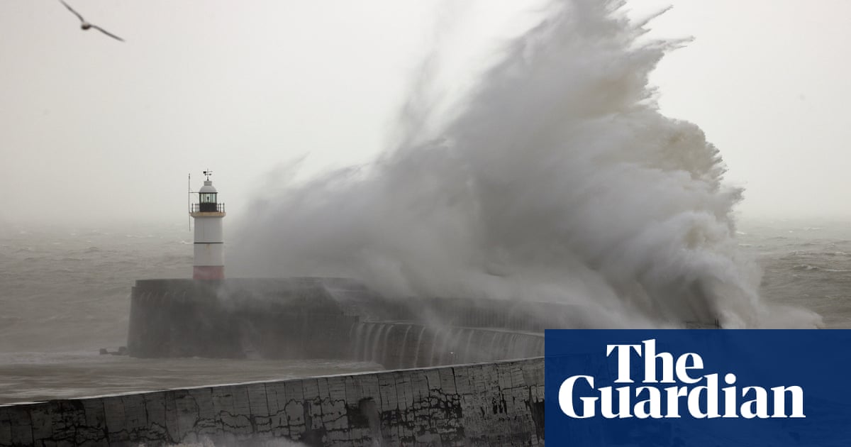
Wild storms battering the Queensland and New South Wales coastline are expected to worsen later on Monday, and authorities have warned the heavy rain and strong winds could be “similar to a category one cyclone”.
Emergency services in both states have received thousands of calls for help since Saturday, as the conditions cause flash flooding and dangerous waves that have washed away large sections of beachfront.
The most significant erosion appears to be at Byron Bay’s Main Beach, where large sections of sand were washed away by eight-metre waves, and where the storms have compounded longer-term erosion problems.
The heaviest falls on Sunday were in hinterland areas stretching from Bundaberg to northern NSW. Murwillumbah in the Byron Bay hinterland recorded 225mm of rain in the 24 hours to 9am on Monday. Inland from the Gold Coast, 186mm was recorded at Upper Springbrook. At Maleny, in the Sunshine Coast hinterland, 188mm of rain fell in the same period.
The Queensland and NSW state emergency services received combined more than 6,000 calls for help at the weekend.
The Queensland emergency services minister, Mark Ryan, told the ABC residents should prepare for conditions to worsen.
“Many of the impacts from this weather event will be similar to a category-one cyclone event,” he said.
The Queensland Fire and Emergency Services commissioner, Greg Leach, said the storms represented “a significant change in the weather pattern in Queensland”
“Only last week we were dealing with bushfire situations and now the big wet has arrived … and so we need to be prepared not only for the weather we are dealing with now but we’re likely to see over the coming month.”
The NSW SES said heavy rainfall over Leycester Creek and the Wilsons River at Lismore was likely to reach the minor flood level (4.20 metres) about midday on Monday, with roads and low-lying farm land and rural properties most likely to be inundated with flood waters.
Further rises to the minor flood levels were possible at Billinudgel and Mullumbimby, with minor flooding expected along Marshalls Creek and the Brunswick River.
During Monday and Tuesday, minor to moderate flooding was possible along the Bellinger River at Thora and Bellingen.
This will result in low-lying areas being impacted by flood waters along the Bellinger River, possibly impacting on the communities of Darkwood, Thora, Bellingen, Repton, Mylestom and surrounding areas.
The Tweed River at Tumbulgum was likely to reach the minor flood level (1.4 metres) on Monday with the high tide.
The SES said the flood situation was being monitored and revised warnings would be issued should the situation change.
People in areas likely to be impacted by flooding should refrain from driving or walking through flood water, take note of road closures and monitor emergency warnings and severe weather updates.
The BoM said thunderstorms could lead to the possibility of very heavy rainfall and dangerous flash flooding.
“At this stage, the widespread heavy rainfall is expected to ease late Tuesday or early Wednesday,” the BoM said. “Thunderstorms may still produce localised heavy falls that may lead to flash flooding during Wednesday.”
The BoM also warned damaging winds averaging 60km/h to 70km/h were likely along NSW’s coastal fringe from Yamba to as far south as Crescent Head on Monday.
Waves possibly exceeding five metres in the surf zone could also be expected from Yamba to Port Macquarie.
Communities in flood-prone areas spent Sunday sandbagging low-lying areas and preparing properties.
In Western Australia, a flood warning was in place for the De Grey River catchment after a tropical low dumped heavy rain from the Pilbara to the border with South Australia.
The system crossed the coast near Port Hedland on Friday and it started bucketing down as the weather system moved south-east towards the Goldfields.
A flood warning was issued on Sunday night for residents in the Fortescue River catchment.
Warnings were also issued for the Sandy Desert, Warburton district and salt lakes district rivers.


