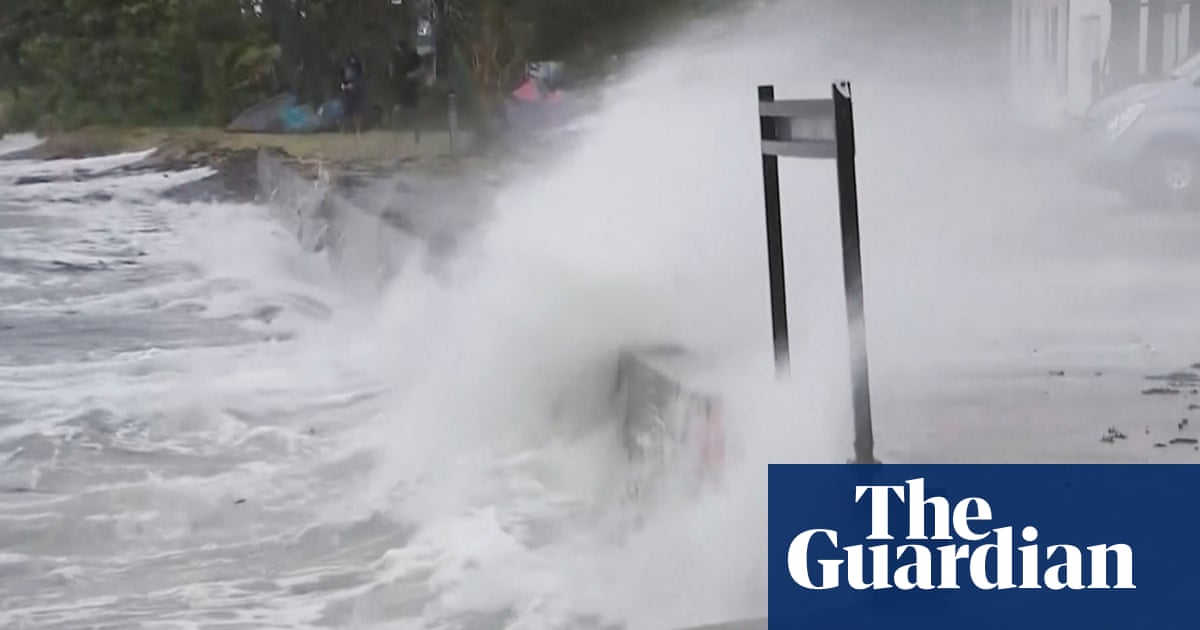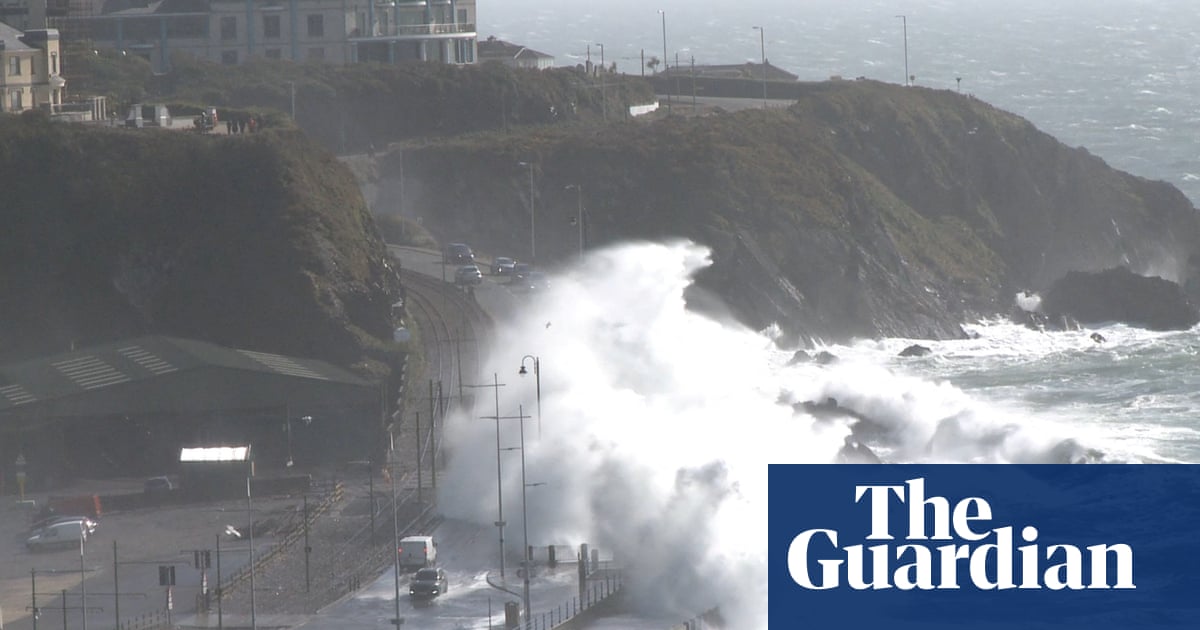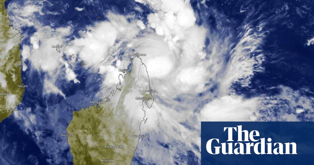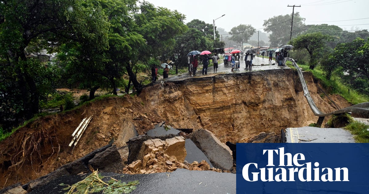
Tropical Cyclone Kirrily made landfall on the coast of Queensland on Thursday night (local time). Kirrily originated as a tropical low over the Coral Sea, and gradually intensified over several days. The tropical cyclone then quickly intensified on Thursday, reaching a category 2 system by 10am AEST, and category 3 by 3pm, producing gusts of 170 km/h (105mph). As Kirrily moved inland five hours later, it left more than 34,000 homes and business without power in Townsville. However, the cyclone was quickly downgraded back to a category 1 by midnight.
Earlier in the week, dense fog developed from Montana all the way south to the Gulf of Mexico, reducing visibility on Tuesday to less than a quarter mile for many. The combination of last week’s arctic blast, followed by the introduction of warmer air from the south this week, allowed water vapour to condense closer to the surface, which is also known as advection fog. Dense fog reappeared on Thursday morning, affecting just under 99 million people from North Dakota across to central Pennsylvania, and as far south as New Orleans.
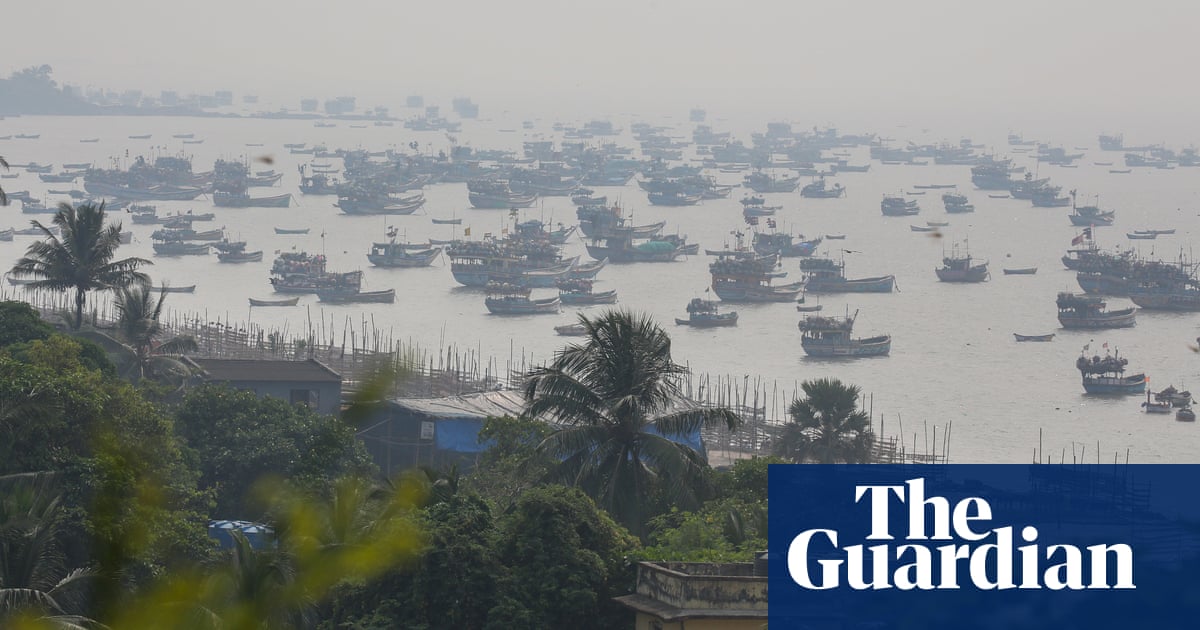
Northern India has also been experiencing dense fog over the past few days, with visibility falling to zero in many places on Wednesday. As a consequence, the Indian Meteorological Department issued a red fog warning on Wednesday morning for Uttar Pradesh, Punjab, Harana, Chandigarh and Delhi, which is valid until 28 January. Unlike in the US, it is the warmer, sunnier days, followed by cooled nights, which allows water fog to form, also known as radiation fog.
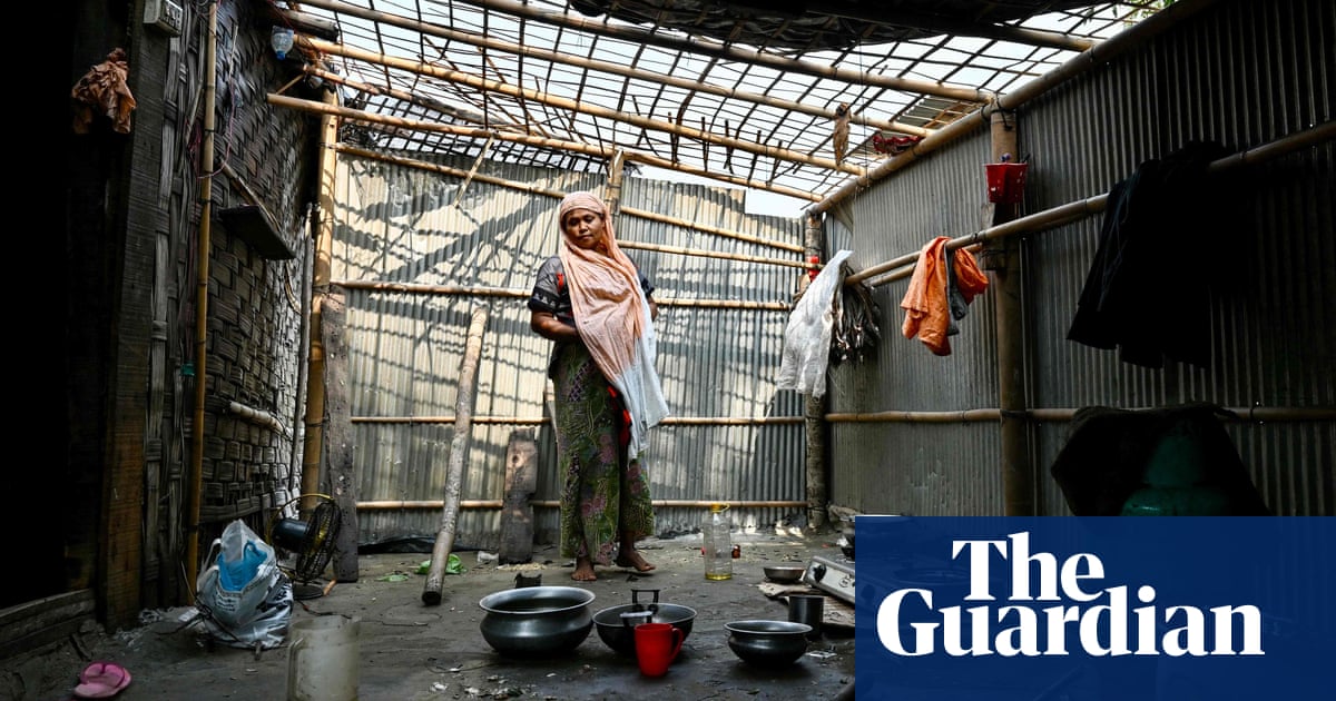
Meanwhile, in the Philippines, PAGASA (The Philippine Atmospheric, Geophysical and Astronomical Services Administration) has declared a drought across eight provinces on Luzon Island. Many other provinces, notably Metro Manila, in which the capital city resides, have also been experiencing prolonged dry spells. A drought is here characterised by five consecutive months of below average rainfall, while a dry spell is after only three months. El Niño has been linked to the reduced rainfall, which is set to continue until at least the end of spring.
Other regions have also been experiencing dry spells linked to El Niño in recent months. The World Food Programme has suggested that by the end of January, many southern African nations including Namibia, Botswana, Zimbabwe, Mozambique and southern Madagascar, will have received below average rainfall based on a combination of observations and forecasts. Consequently, the Meteorological Services Department of Zimbabwe has advised farmers to enhance water collection and harvesting when possible.


