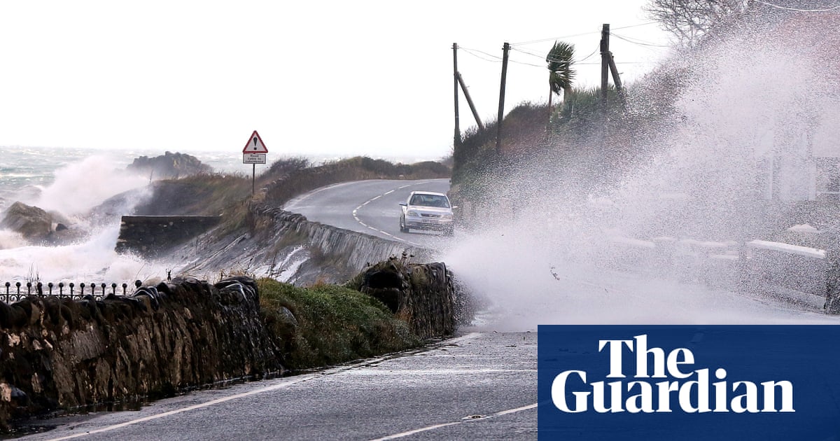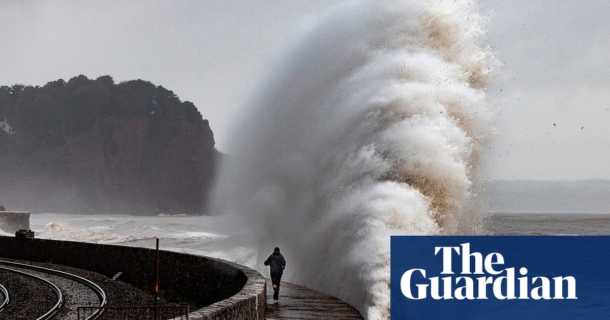
The Met Office has issued weather and flood warnings as Storm Evert moved eastwards across Britain with thunderstorms forecast for the weekend.
Yellow wind warnings are in place for coastal areas in south-east England and East Anglia, and thunderstorm warnings for a swath of England from Nottingham to Norwich and north as far as Hull.
The Met Office said it would be unsettled across England and Wales on Friday as Storm Evert moved eastwards, with strong winds across the south-east coast and “torrential thundery downpours” in the east.
It added: “There’ll be further heavy downpours around on Saturday. The focus for the heaviest of these will be across central, eastern and southern England where there could be some thunderstorms. Another day where the weather will bring some locally tricky travelling conditions.”
Storm Evert, which began on Thursday evening, produced gusts of wind close to 70mph across Cornwall and the Isles of Scilly. The highest gust recorded so far was 69mph in St Mary’s in the Isles of Scilly, the Met Office said.
The RNLI volunteer crew from St Mary’s and Sennen Cove spent Thursday night helping to rescue people from yachts around the Isles of Scilly.
Falmouth Coastguard Operations Centre reported a total of 22 incidents on Thursday night.
Pete Hicks, the coxswain of St Mary’s RNLI lifeboat, said: “It was an incredibly busy night. We were afloat from about 11pm until around 3am this morning, it was a very busy night for everyone involved. I went aboard Sennen Cove RNLI’s all-weather lifeboat to assist the crew with local knowledge of the area, and with a huge team effort we were able to successfully rescue everybody in difficulty.
“The conditions were horrendous, at one point we had over 50 knots of wind with squally showers.”
Oli Claydon, from the Met Office, said: “The amber warning that was associated with the storm has now expired. That was for the area covering Cornwall. We had two yellow weather warnings in place today. There are two separate areas for wind – the area covering south-west and southern parts of Wales, which has now expired.
“Then there’s another area to the south-west which expires at 6pm on Friday evening. That reflects how the storm centre is moving eastwards across the country, so as we get to evening time, the low centre will have cleared eastwards and the wind speeds will start to ease down.
“There is also a thunderstorm warning in force up until 10pm on Friday evening for parts of central and eastern England.”
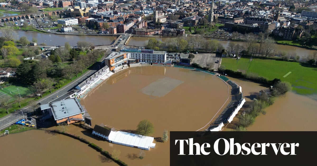
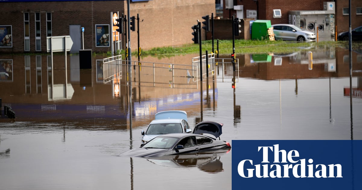
The Met Office said the heavy showers and thunderstorms could lead to the flooding of homes and businesses, power cuts and transport disruptions.
The Environment Agency has issued two flood alerts for the Eastern Yar, the Isle of Wight and the Somerset coast at Porlock Weir.
Mark Morgan-Hillam, 48, his wife, Leanne, 43, and children age four, 10 and 14 went camping just above Polzeath, Cornwall, on Thursday evening.
The deputy headteacher from Appley Bridge, Wigan, told the PA Media news agency: “The lack of warning was an issue. It was only at 9/10pm at night that we noticed the storm warning had changed to amber and I think that caught a lot of people out on our site who went to bed thinking it would be windy, but not blow their tent over.”


