The “rain bomb” that soaked Brisbane and triggered record floods in northern New South Wales will develop into an east coast low and dump as much as 150mm of rain on Sydney with “life-threatening” risks on Wednesday.
The Bureau of Meteorology has pared back its earlier forecast for the daily rain total from as much as 150mm to 200mm to 100mm to 150mm, but reissued its severe weather warning for damaging winds and torrential rainfall for a coastal region stretching from near Newcastle down to almost the Victorian border.
“Heavy rainfall which may lead to flash flooding is forecast to develop over parts of the Hunter and Metropolitan, Illawarra, South Coast and parts of Central Tablelands and Southern Tablelands Forecast Districts during Wednesday,” the bureau said. “Six-hourly rainfall totals between 80 and 120mm are likely.”
“Locally intense rainfall leading to dangerous and life-threatening flash flooding is possible with thunderstorms with six-hourly rainfall totals up to 200mm [are] possible,” the warning said, adding that wind gusts could surpass 90km/h along the coastal fringe.
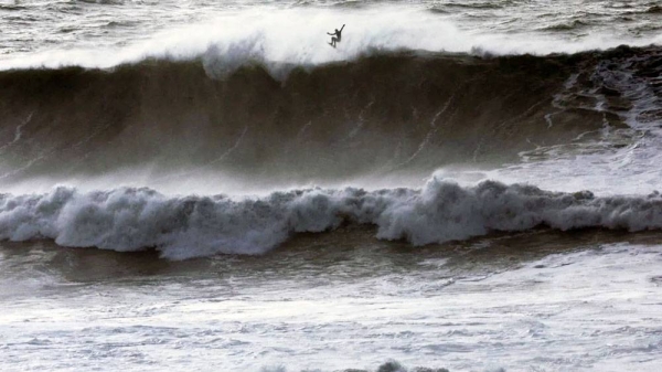
East coast lows are intense weather systems that can include thunderstorms and generate dangerous surf. Weather models can struggle to pick how close the low will form near or on the coast and how long they will linger, leading to forecast changes.
The rain will extend the damage already inflicted on communities in Queensland and northern NSW, stretching emergency services and leaving a huge toll in lives lost and damage.
Ben Domensino, a senior Weatherzone meteorologist, said uncertainty remained, with the low “pretty weak” but likely to strengthen as it moves westwards.
Accumulated rain totals range between 50mm and 300mm by the end of Thursday, underscoring the forecast challenges. Sydney’s heaviest falls would probably come late on Wednesday and into Thur, Domensino said.
The bureau’s Sydney’s rainfall prediction for Thursday was increased to 50mm to 70mm, up from 30mm to 50mm forecast previously, indicating the low may take longer to move off into the Tasman Sea.
The State Emergency Service issued its own warning for the possibility of major flooding for rivers in an area of the state taking in greater Sydney, the south coast and Queanbeyan, near Canberra.
The bureau said minor flooding was already occurring on several rivers near Sydney, including the Hawkesbury-Nepean near Richmond.
“The Hawkesbury River at North Richmond may exceed the minor flood level (3.80m) early Wednesday morning. Further rises to the moderate flood level (7.9m) are possible Wednesday afternoon.
“The Hawkesbury River at Windsor is likely to reach the minor flood level (5.80m) Wednesday afternoon. Further rises to the moderate flood level (7.0m) are possible Wednesday night.”
Earlier this week WaterNSW said Sydney’s main reservoir, Warragamba Dam, would probably start to spill into the Hawkesbury-Nepean floodplain by Wednesday morning.
The dam, which holds 80% of Sydney’s drinking water, started releasing water to give it some moderate “airspace” before the downpour. Even so, it had reached 99% capacity by Tuesday.
“The upper range of the predicted spill peak from Warragamba dam has increased overnight, though it remains at a rate still well below the spill experienced in March 2021,” WaterNSW said on Tuesday.
Several other dams were spilling or considered likely to as a result of the rain, WaterNSW said.
“Tallowa and Cordeaux Dams are already spilling and other Upper Nepean storages likely to spill in the days ahead include Nepean, Avon, and Cataract, along with Woronora Dam to Sydney’s south.”
Dean Narramore, a senior bureau meteorologist, said on Tuesday the east coast low was likely to be more compact compared with similar recent systems such as in June 2016 or that which triggered floods near Sydney in March 2021. The event’s intensity depends on how close the low forms and how long it lingers near the coast.
“The worst of the weather, the strongest winds, the heaviest rainfall and the worst of the beach erosion will occur near and just south of where that [system] crosses the coast, if it does, or when it comes close to the coast,” Narramore told a media conference in Sydney.
With sodden ground, strong winds could bring down trees, adding to the risks and also disrupting power supplies. Landslips and mudslides are also possible, prompting authorities to encourage motorists to stay at home.
Weatherzone’s Domensino said areas of south-eastern Queensland and northern NSW could collect another burst of rainfall on Thursday. Falls of 50mm to 100mm are possible, potentially hampering clean-up efforts.


