شركة رقمي
نقل من موقع 
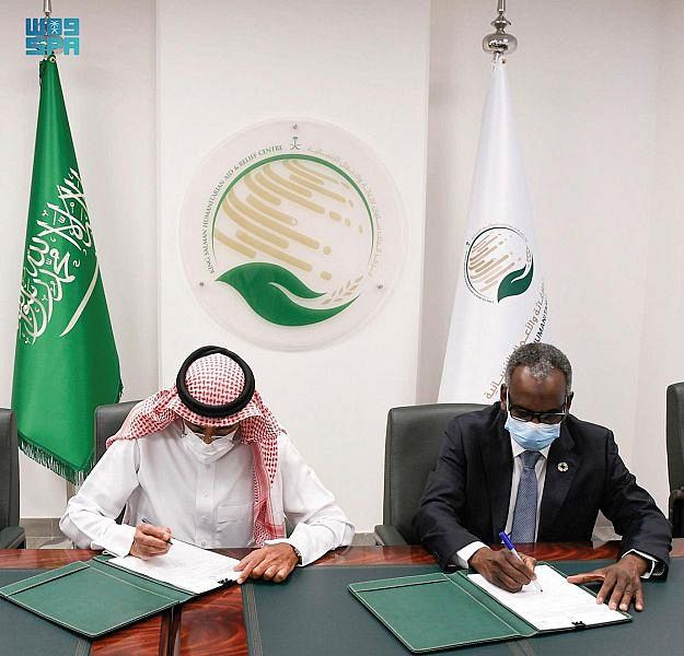
Riyadh, April 25, 2022, SPA -- The General Authority for Survey and Geospatial Information (GASGI) and United Nations Development Program (UNDP) in the Kingdom of Saudi Arabia signed the third phase of a project to offer consultation services, which entails providing support to the authority in the fields that were endorsed in its new bylaw focusing on enhancing and developing work in the fields of survey and geospatial information, and improving and building the national capacity. The authority, through this agreement, seeks to expand the scope of marketing its products and services and increase the level of public awareness on its works, where the basic fields of this agreement include: geodesy, geospatial information, marine survey, map production, planning and development, and the geospatial academia of the authority. UNDP Resident Representative for the Kingdom of Saudi Arabia Dr. Adam Bouloukos stressed that this partnership aims at providing consultation services concerned with developing the national capacity to conduct survey and geospatial works effectively and efficiently, providing the necessary infrastructure for the national geospatial data, and receiving diversified and multi-purpose knowledge from these survey works so as to support the national efforts aimed at realizing the targets of the Saudi Vision 2030 and the Sustainable Development Goals. GASGI President Dr. Mohammed bin Yahya Al Sayel expressed his satisfaction with UNDP support, in particular the latest training arranged by UNDP and delivered by the Division for Ocean Affairs and the Law of the Sea which received significant positive feedback. GASGI Head of Human resources and National Project Manager of the project Eng. Bader Althiyabi said: “This project will contribute to achieving the objectives of the organization’s regulation Resolution No. (90) in the field of surveying and geospatial information and will contribute to developing and building national capacities in the sector.” The General Authority for Survey and Geospatial Information, according to its mandate, seeks to organize, develop and improve the sector of survey and geospatial information, and supervise it in a way that realizes quality and improved performance. --SPA 14:51 LOCAL TIME 11:51 GMT 0017 www.spa.gov.sa/w1725624
مشاركة :