Two tornadoes swept across parts of Florida last Thursday, causing extensive damage to many homes and businesses in Crystal River and Clearwater. Trees and power lines were downed, with walls and roofs ripped from buildings. The tornadoes produced wind gusts of 115mph and 125mph respectively, according to the US National Weather Service, making them EF-2 tornadoes on the Enhanced Fujita scale. This scale is used to classify a tornado based on the wind gusts measured over a 3-second period, with EF-0 being the lowest and EF-5 being the highest. An EF-0 tornado has wind gusts of 65-80mph, with wind gusts exceeding 200mph in an EF-5 tornado. No injuries were reported after the Florida EF-2s.
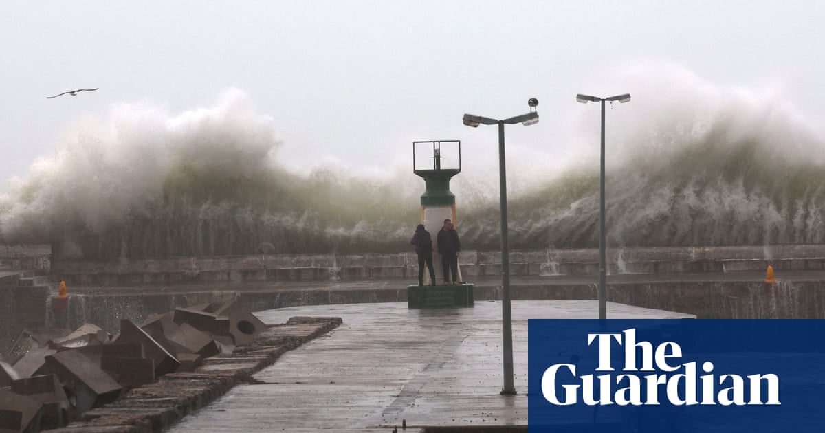
Meanwhile, unusually windy conditions are forecast to develop across the North Sea later this week as areas of low pressure push northwards across France, through the Channel and towards the UK and Ireland. By Thursday and Friday, gusts of 70-80mph are possible in the North Sea bringing large waves and potential disruption. Wave heights of more than 7 metres are possible between Norway and Scotland. Strong winds are also likely to affect eastern Scotland and many eastern counties of England, with an increased risk of some damage to trees. The winds will be from an east to south-easterly direction as opposed to the usual south-westerly direction that prevails across north-west Europe.
A blocking area of high pressure located across Scandinavia will be responsible for the development of these strong winds as areas of low pressure moving in from the Atlantic struggle to make progress eastwards. The low pressure systems will stall across the UK and Ireland helping to develop a strong east to south-easterly atmospheric flow.


