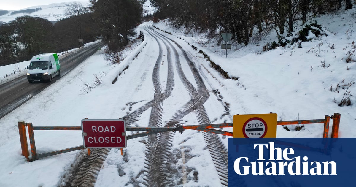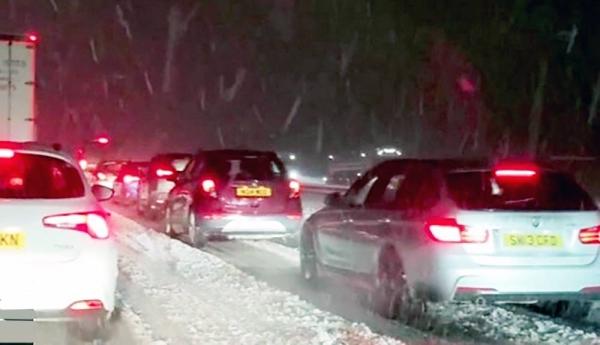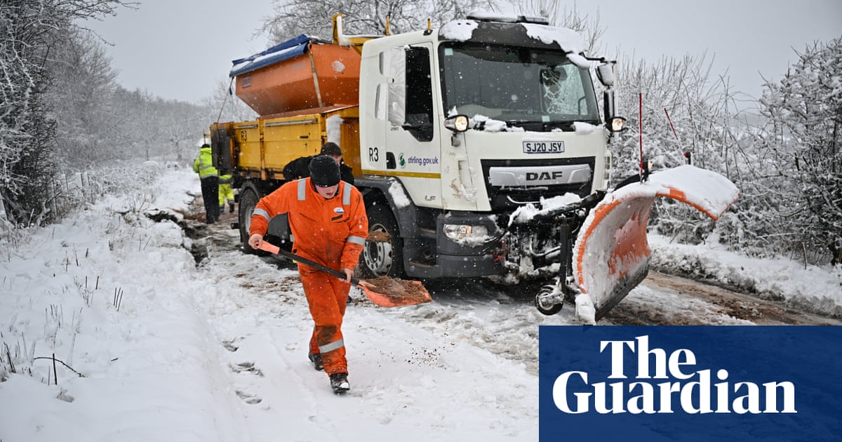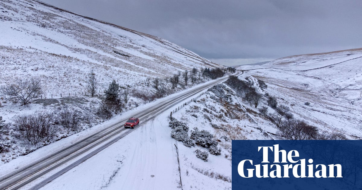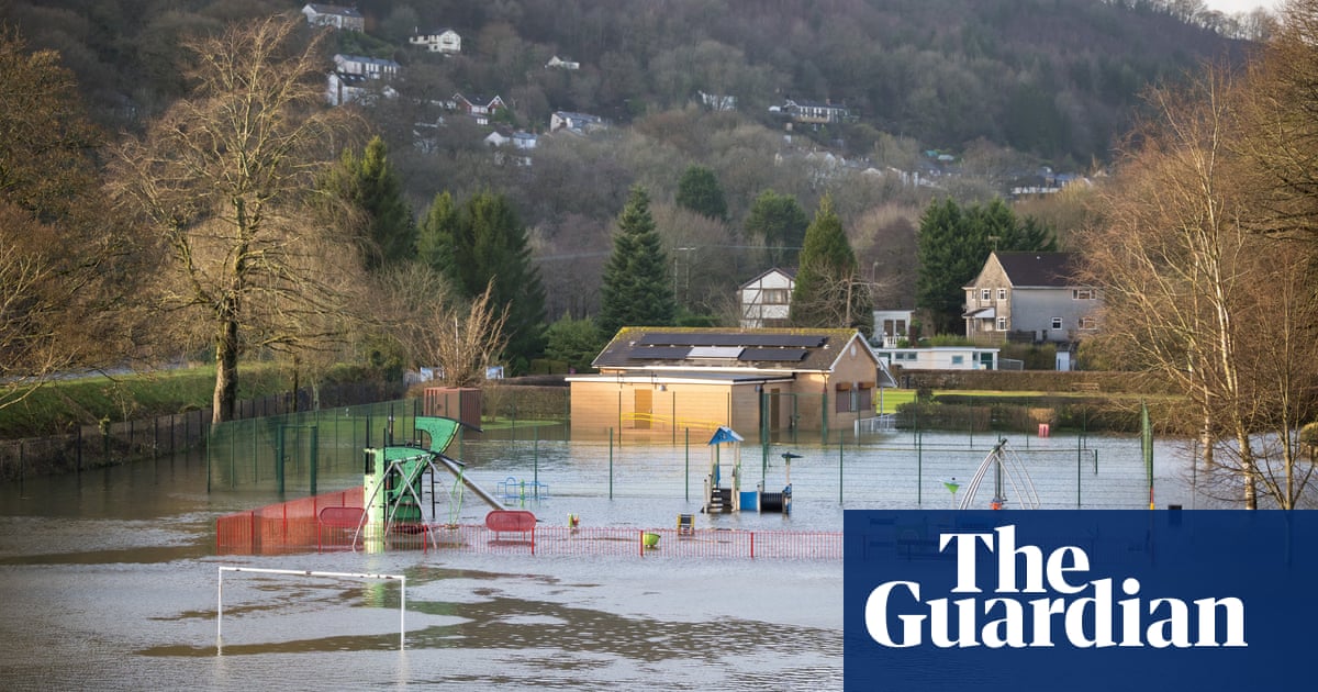
The Met Office has warned the UK to brace for a blast of cold Arctic air with sleet, rain and heavy snow that could cause disruption.
As much as 25cm of snow is possible on Thursday and Friday in areas above 400 metres, up to 5cm on ground above 200 metres and up to 2cm of snow could fall at lower levels. There is also a risk of icy conditions.
Temperatures will drop to below average for the time of year in the UK on Wednesday, the Met Office said, “leaving the whole of the country under the influence of largely dry, cold Arctic air with an ongoing risk through the week of ice overnight”.
Updated yellow weather warnings were issued on Tuesday for an area covering Northern Ireland, northern England, parts of the east Midlands and north and central Wales. It runs from 6am on Thursday to 6am on Friday.
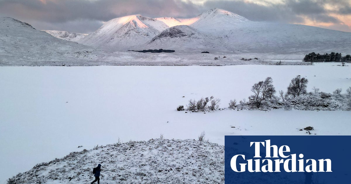
A separate yellow weather warning for snow and ice in northern and western Scotland kicks in at 3pm on Tuesday and last until noon on Wednesday. Up to 8cm of snow is possible in the north-west Highlands.
The warnings come after much of the UK experienced what forecasters said was an exceptionally mild spell of weather. The almost spring-like conditions have helped bring an abundance of snowdrops and daffodils in many areas.
It comes after what has been an exceptionally stormy autumn and winter with more named storms – 10 – by January than at any other year since the Met Office began naming them in 2015/2016.
The see-saw weather will continue with what the Met Office described as a “clash of air masses” this week.
It will bring a band of rain, sleet and snow which will push north on Thursday. The heaviest snowfalls are expected wherever the boundary of cold and mild air is.
Forecasters said there was a small chance of power cuts and disruption to mobile phone coverage. There is also a chance of travel problems and a warning that some rural communities could be cut off.
The snow is expected to ease later in the day on Thursday and may turn back to rain or drizzle. The Met Office said there was still uncertainty with respect to the rain/snow boundary and the northern limit of the snow.
The Met Office deputy chief meteorologist Chris Almond said: “There’s an increased signal for wintry hazards as we move through the week as cold air from the north moves over the UK.
“It’s from Thursday that the snow risk becomes potentially impactful, as mild air attempts to move back in from the south, bumping into the cold air and increasing the chance of snow where the two systems meet. While there are still lots of details to work out, the initial snow risk looks highest in northern England and Wales from Thursday.”
The UK Health Security Agency has a yellow cold weather alert in force for parts of England from Wednesday, warning of the impact on elderly and vulnerable people.
Amy Shaw, national network manager at National Highways, said: “Freezing conditions bring hazards such as snow and ice, so take every possible step to understand your journey in advance and allow lots of extra time when travelling to prepare for the unexpected.
“It is therefore always important to plan ahead for your journey, check the weather forecasts, and if weather conditions become challenging, adjust your driving behaviour and take extra care.”


