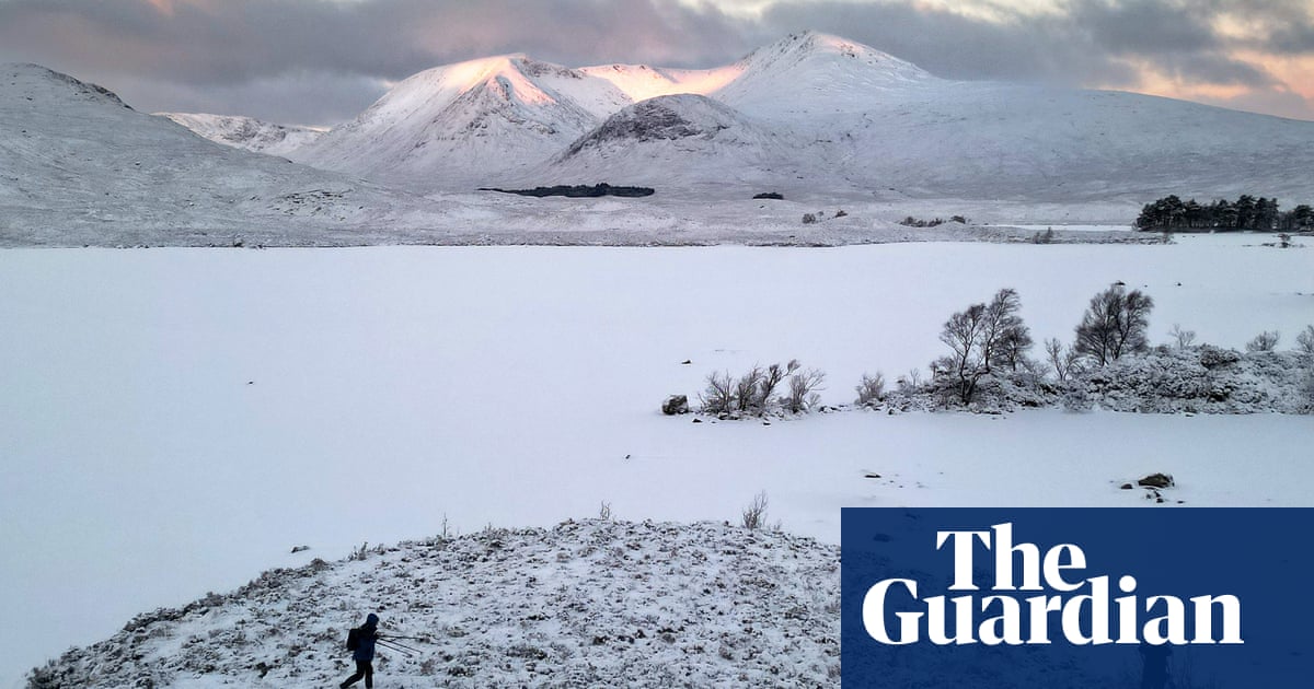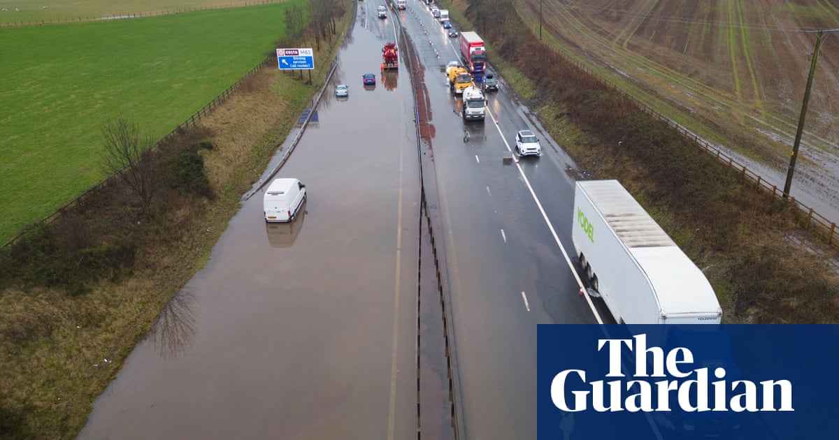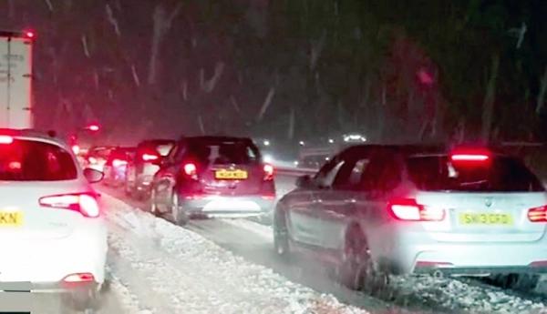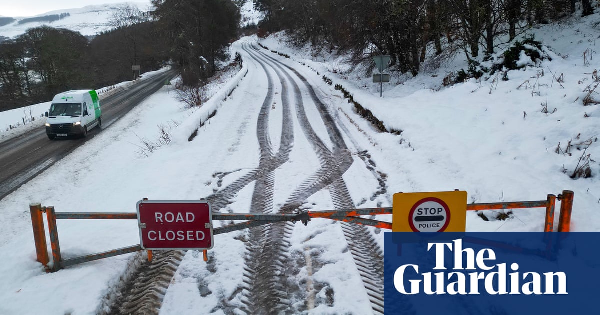
The Met Office has put a rare amber snow warning in place for parts of Scotland as the road police chief told drivers to put travel plans on hold.
The warning is for snow between 3pm on Wednesday and 6pm on Thursday in north-west Scotland and the Northern Isles, meaning road delays are likely and that some vehicles could be stranded.
Tuesday night was the coldest January night since 2019, according to provisional recordings by the Met Office. In Dalwhinnie in the Scottish Highlands, temperatures fell to -14C on Tuesday night.
Hundreds of schools in Scotland were shut again on Wednesday and motorists were advised to drive with care due to “tricky” conditions.
All council schools and nurseries in Shetland and Orkney were closed, along with 144 in the Highlands and about 90 in Aberdeenshire, while others delayed their opening times.
The Met Office amber warning forecast that some areas could have an extra 15-20cm of snow, meaning power cuts were likely and more remote communities were at risk of being cut off.
Yellow weather warnings of snow and ice have been updated, with much of Scotland, northern England, parts of Wales and Northern Ireland covered on Wednesday, and southern and central Scotland affected by an ice warning.
Ch Supt Hilary Sloan, Police Scotland’s head of road policing, said: “Our advice is to plan ahead and consider if your journey is really necessary during this latest spell of severe weather or if it can be delayed until conditions improve.”
Scotland’s transport minister, Fiona Hyslop, said winter resilience plans had been in full effect and urged people to plan ahead if travelling.
She said: “Police Scotland is warning of a high risk of disruption for the parts of the country covered by the amber warning, but yellow warnings can also be impactful and cause delays.”
On Thursday, parts of western and northern Scotland, north-east and eastern England, Wales and Northern Ireland will be subject to a snow and ice warning.
Freezing temperatures and snow will continue for much of Britain this week due to a blast of Arctic air, before “potentially disruptive” stormy weather lands over the weekend.
A “cold plunge of Arctic air” had moved south across the whole country over the past few days, making it 5C to 6C lower than usual for the time of year, the Met Office said.
The forecaster has said more than 40cm of snow may fall on high ground in north-west Scotland by the end of Friday.
A Met Office spokesperson said the low temperatures were also due to how long the cold snap has lasted.
She said: “It’s due to the prolonged nature of this cold spell, it will have been lasting for quite a few days. A buildup of snow, as well, just allows for the temperatures to get colder and colder and we don’t often see a cold spell last three to five days.
“The air is coming directly from the Arctic, so it is exceptionally cold air. It’s staying cold until Friday, and then looking further ahead into the weekend we’ve got some deep areas of low pressure pushing in, so a big change in weather type, and we could see some stormy conditions by the end of the week.
“The cold isn’t lasting right to end of the week, but we have a very different type of potentially disruptive weather arriving.”
The weather was forecast to turn stormy on Sunday, she added.
The weekend will be milder, but westerly weather will bring wind and rain – and the potential for more weather warnings as the snow melts.
The UK Health Security Agency has issued a cold health alert, which warns of possible impacts on the health and social care sectors.
National Rail warned that the wintry weather could affect train journeys all week, with services between Edinburgh or Glasgow Queen Street and Inverness running to an altered schedule on Wednesday.
ScotRail said a normal service was otherwise expected to run on Wednesday.


