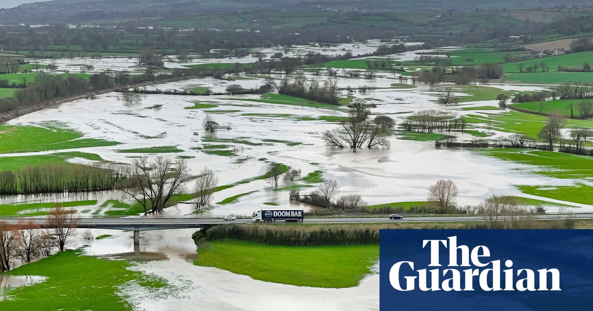
Heavy rain and strong winds are on the way for some parts of the UK on Thursday.
The warning from the Met Office came after passengers faced train cancellations amid flooding and heavy rainfall on Wednesday.
Great Western Railway (GWR) said there were cancellations to its services on Wednesday due to flooding between Plymouth and Exeter St David’s in south-west England. The line towards Exeter St David’s is blocked.
GWR told passengers that trains running through these stations may be cancelled or delayed. Disruption was expected until the end of the day.
The Environment Agency (EA) had issued 35 flood warnings and 199 flood alerts by 7pm on Wednesday while a Met Office yellow warning for rain and wind on Thursday suggested further disruption lies ahead for some regions.
The Met Office said: “We’ve seen plenty of rain in the past 12 hours.”
The 12-hour rainfall totals included 68mm recorded at Whitebarrow on Dartmoor and 63mm at Coniston Coppermines, Cumbria.
A band of rain is expected to move east across England during Thursday before clearing eastern England by early evening, meaning some regions should be braced for possible flooding and disruption, according to the Met Office.
The forecaster has issued a yellow warning for rain covering the east Midlands, the east of England, London and south-east England, the south-west and the West Midlands from 5am to 5pm on Thursday.
It states: “Rain will be heavy at times and perhaps become more prolonged to give 3-6 hours of rain.
“Most places within the warning area will see 10-15mm of rainfall but a few places could see 30-40mm, with this falling on to already saturated ground.
“Lightning and gusty winds are likely to be additional hazards, with a small chance of gusts [of about] 50mph in a few places.”
A yellow warning for wind is also in place for Thursday from 8am to 6pm, with “gusts of [about] 50mph in a few places very briefly, as well as some hail and thunder”.
The east of England, London, the south-east and south-west have been urged to brace for “a small chance of disruption from strong winds”.
The wind warning also states: “There is a small chance of a broader swathe of very strong winds affecting southern and eastern England with gusts of 60-70mph, mostly likely close to English Channel and southern North Sea coasts.”
The Met Office chief meteorologist, Paul Gundersen, said: “After what has been a wet February so far, further rain is on the way on Thursday, accompanied by some gusty winds and potential impacts for those within the warning areas which cover much of southern, central and eastern England.”
He added: “There’s a small chance that wind gusts could reach 60-70mph, mostly likely on exposed coasts, though more widely we’re likely to see a shorter spell of heavy, squally rain with hail and thunder in a few places and gusts to about 50mph.
“Most places within the warning areas are likely to see 10-15mm of rain, with a chance of 30-40mm in a few places. This is falling on saturated ground, which elevates the chances of flooding and disruption.”


