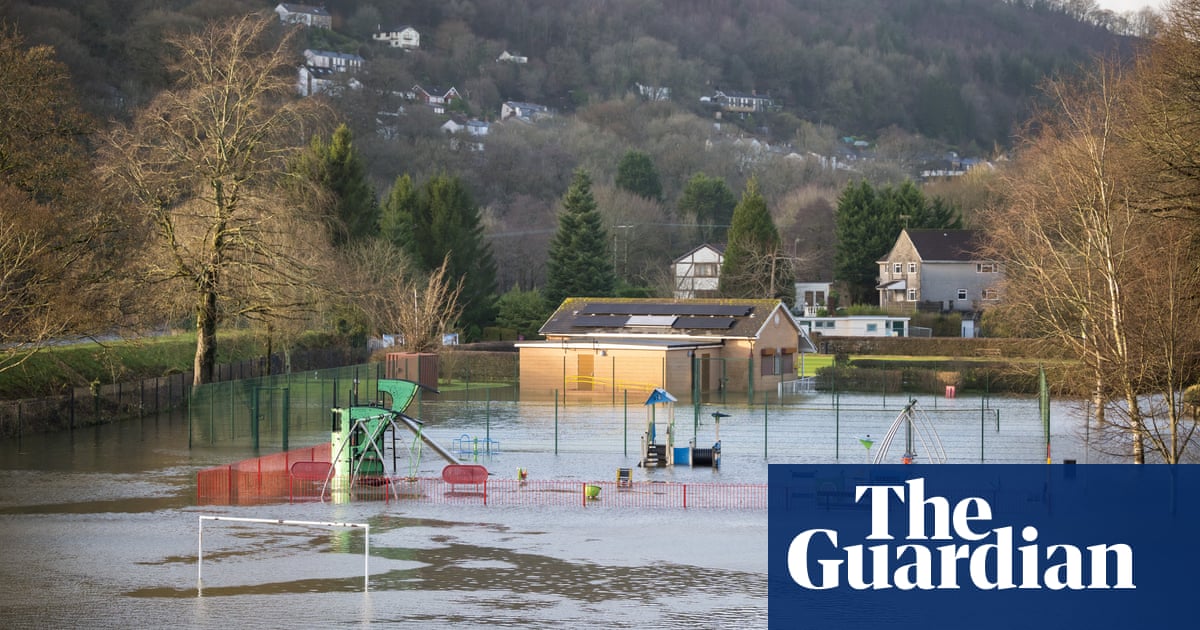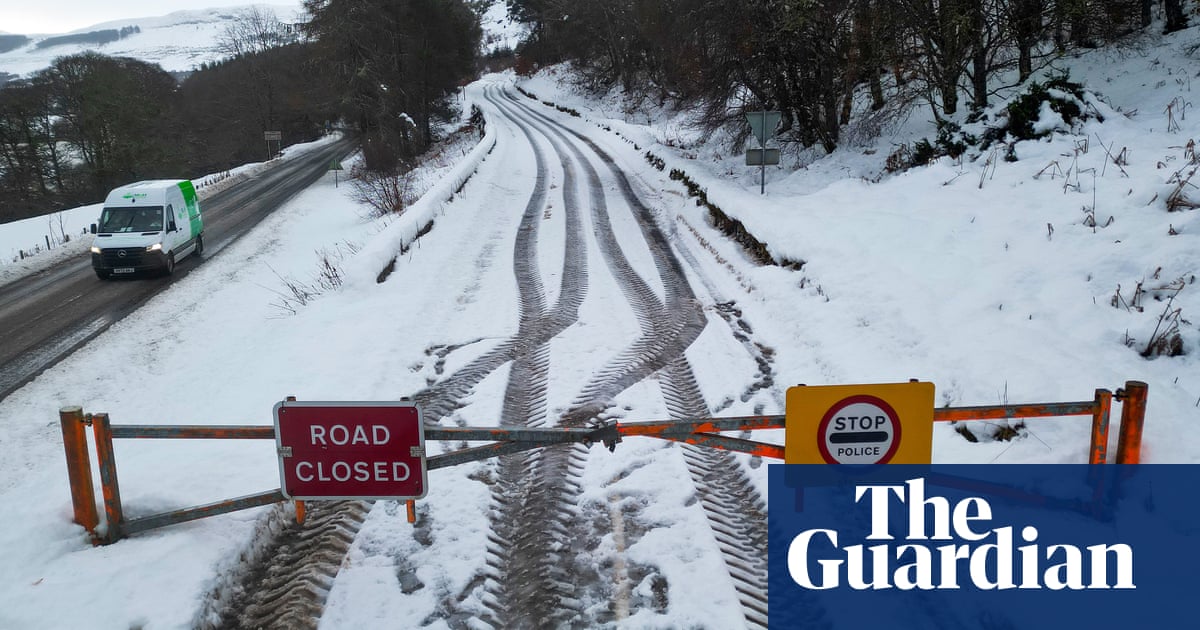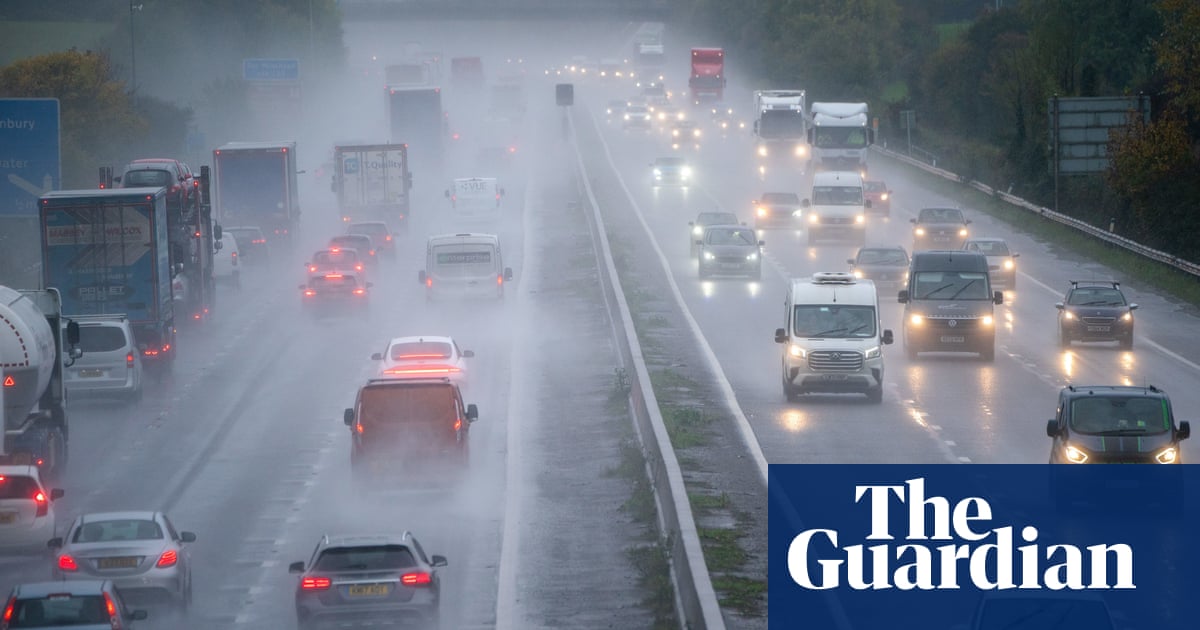
Flooded roads and cancelled trains have caused travel disruption to commuters, after some parts of England received more than a month’s worth of rain in 24 hours.
Woburn in Bedfordshire recorded 132mm rain in the past 48 hours, more than twice its September average rainfall, according to the Met Office.
Parts of Oxfordshire, Warwickshire and Northamptonshire also had more than 100mm of rain in the past two days.
Although Tuesday brought a respite from the downpours, the Environment Agency had 35 flood warnings – meaning flooding is expected – in place for England. The Met Office has also issued a yellow warning for Thursday covering much of the north-east of England - indicating heavy rain could cause some disruption.
Submerged cars could be seen in deep flood waters on the A421 in Bedfordshire, which has been called the county’s “new river”, with National Highways saying water levels of up to 8ft had been recorded.
The agency said it could not provide a timeline for when the road would reopen and said three abandoned vehicles would need to be recovered, while tankers were working to pump away the water.
The River Nene burst its banks in Northampton on Tuesday morning, with the fire service having to rescue people from their narrowboats, while a University of Northamptonshire halls of residence was evacuated on Monday when its basement flooded.
High water levels were also recorded on the River Great Ouse in Cambridgeshire with an alert for imminent flooding.
Train lines across the country were also severely affected. Flooding between Rugby and Milton Keynes would disrupt Avanti West Coast and London Northwestern Railway until 10am, according to National Rail.
London Northwestern Railway said its Marston Vale line, which operates services between Bedford and Bletchley, would be suspended until Monday.
The National Grid said some of its field teams had dealt with a week’s worth of power cuts in one weekend.
Although a number of schools in Bedfordshire, one of the worst hit areas, were closed due to flooding on Monday, all appeared to have reopened their doors on Tuesday.
Drier weather but colder temperatures were forecast on Tuesday with Scotland and northern England still having some isolated heavy showers with a chance of thunder, according to the Met Office, which said further weather warnings were unlikely.
Maximum temperatures were expected to rise no higher than the mid-teens.
The meteorologist Liam Eslick said: “There may be odd, heavier bursts just clipping the south-east as a system does slowly start to move away, but it’s a much drier day for most people. There is going to be some isolated showers here and there, but they’re going to be very light, nothing like the torrential rain that we’ve seen over the last couple of days.”
It was expected that river levels would become more manageable elsewhere towards the end of the day as more water seeps into the ground.
A gradual lowering of temperatures will continue through Wednesday and Thursday but it is unlikely any frost will develop with plenty of cloud around, the Met Office said.


