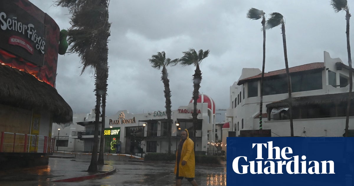
Hurricane Hilary, which quickly grew to category 4 strength off Mexico’s Pacific coast, whipping up 145mph winds, could become the first tropical storm to hit southern California in 84 years.
As the hurricane barrels northward, officials have issued the first ever tropical storm watch for the US west coast. Hurricane watches and tropical storm warnings have also been issued for parts of Baja California and mainland Mexico, where fierce winds and rain could cause flooding and landslides.
No tropical storm has made landfall in southern California since 25 September 1939, according to the National Weather Service. The watch warned of numerous potential threats to life and property including extreme flooding, mudslides and tornados.
The storm’s angle made it difficult to judge where exactly it would hit land. It was expected to gain strength Friday as it approached the Baja California peninsula, before slightly slowing over the region’s cooler waters. It could come ashore in Baja California on Sunday before hitting southern California, or skim past Baja land as a tropical storm somewhere between Los Angeles and San Diego.
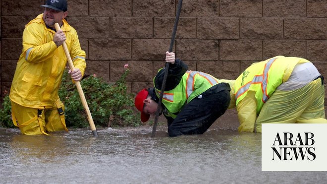
Regardless, officials have warned that hammering rains could cause flash floods and landslides across the region. Parts of Baja California and the north-western coast of mainland Mexico could experience gale force winds by Friday night, as well as “life-threatening” rip current conditions by the coast, thehurricane center warned. A “dangerous storm surge” could hit western Baja California, officials said, or other parts of Mexico, depending on where the storm makes landfall.
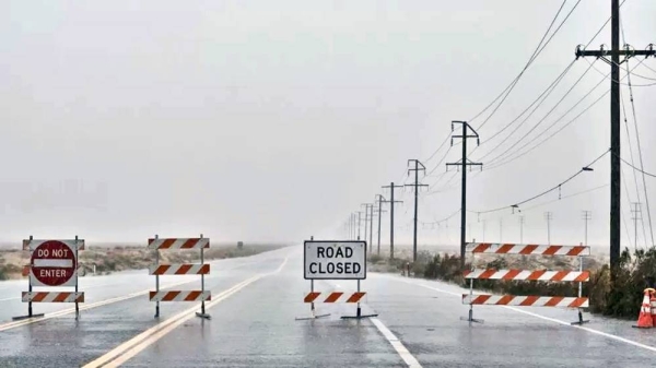
As the storm moves north, it is expected to bring up to eight inches of rain to southern California’s mountain regions and deserts. In Death Valley national park, where a heatwave last month brought near record temperatures, rains could transform the sizzling desert landscape into a lake, meteorologists warned. Desert regions could see two to three years worth of rain fall within two or three days.
The storm was being driven by two weather systems – a heat dome over the central US, which will bring extreme heat to the central plains and midwest, and a low pressure area off the California coast – which were helping drive the storm northward at alarming speeds, that could bring an overwhelming amount of precipitation to the US west and south-west.
Parts of the US west could see up to three inches of rain an hour, and up to seven inches within 24 hours, “which would be exceeding rare for the region from a tropical cyclone, potentially unique for Nevada”, the National Weather Service said.
These conditions will be especially dangerous for unhoused people across the region, advocates warn. In San Diego, which is bracing for monsoonal moisture this weekend, thousands live outside in a city where roughly 25 shelter beds are available on a given day. Local officials are bringing sandbags to outdoor encampments and are “working to determine” the capacity of inclement weather shelter providers during a time of the year when the region normally does not expect cold or wet conditions.
“As Hilary moves into SoCal the plume of Atmospheric water vapor - an Atmospheric River - will be 400% of normal for this time of year,” tweeted the meteorologist Jeff Berardelli.
The remarkable force and speed of the storm is an omen of what is to come as the planet warms, scientists say. Hurricanes are becoming more powerful due to the climate crisis, research shows. Studies have found that that the rapid intensification of storms has become more common in a warming world. Hilary intensified by about 75mph in just 24 hours, according to the National Hurricane Center.
“By far the greatest risk from Hilary will be the potential for very heavy and potentially historic rainfall (and associated flooding) in deserts,” said the UCLA climate scientist Daniel Swain. “All in all, this could be a remarkable event – especially in California’s south-eastern desert region.”


