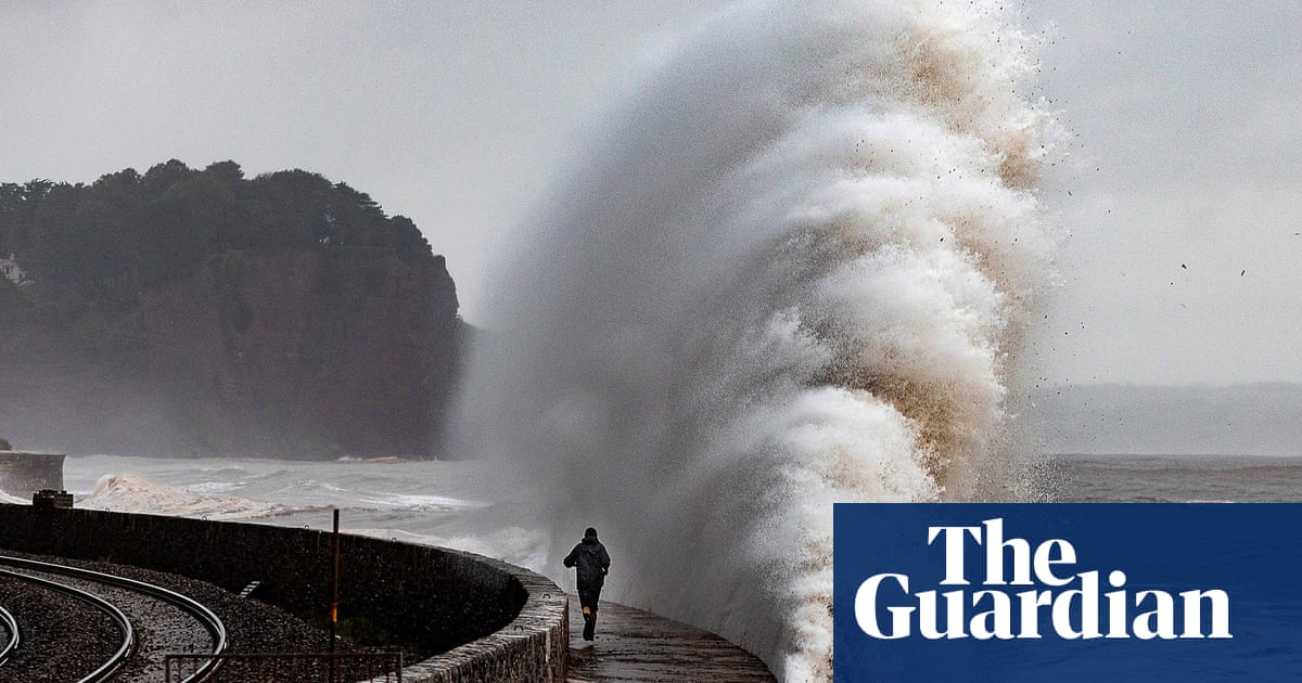
Forecasters have said Storm Ciarán poses a potential threat to life in southern England later this week, bringing gusts of wind likely to hit 80mph.
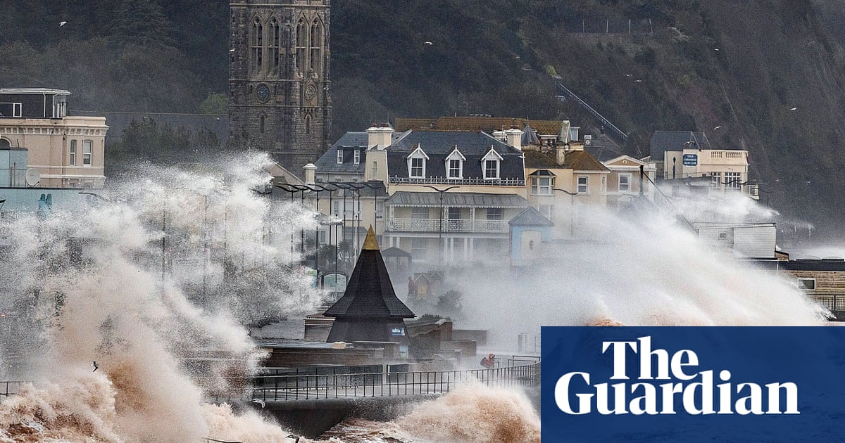
The Met Office has issued an amber warning for wind on Thursday across much of the south coast, with a few of the most exposed Channel coastal spots facing gusts of more than 85mph.
The forecaster said very strong northwesterly winds could disrupt travel and cause structural damage to buildings, while flying debris could pose a danger to life. Roads, bridges and railway lines may close, and trains and planes are at risk of delays.
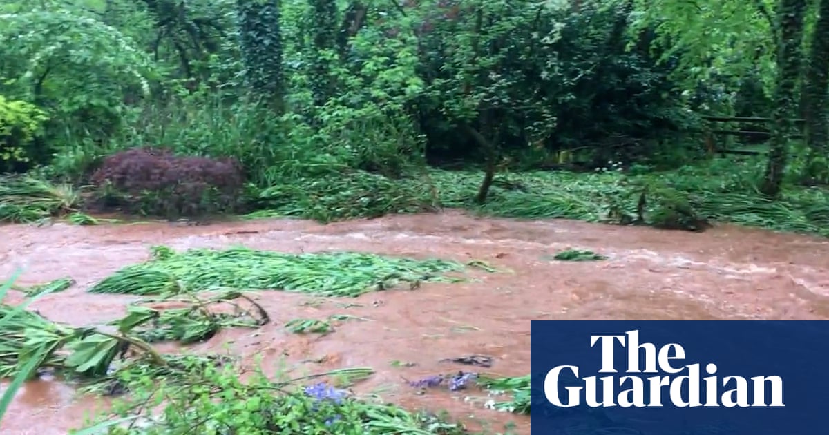
Sections of the Co Down city of Newry are already under water after a night of heavy rain, before Storm Ciarán has reached the shores of the UK and Ireland.
An amber warning for rain had been in place in Northern Ireland overnight and Newry’s canal burst its banks, flooding Sugar Island, Kildare Street, Canal Quay and part of Bridge Street. Police have advised people to avoid Newry city.
An amber weather warning covering the south-west of England and Pembrokeshire in Wales is in place from 3am to 1pm on Thursday. For the rest of the south coast of England, a warning is in place from 6am to 8pm on Thursday.
Yellow warnings for wind and rain are already in place across parts of the UK between Wednesday and Friday.
Across the UK, the Environment Agency has issued more than 25 flood warnings after a prolonged period of wet weather.
The Met Office deputy chief meteorologist, Chris Almond, said: “Winds associated with Storm Ciarán are likely to gust to 80mph along the south coast of England, with a small risk of somewhere exposed seeing 90mph, and winds could even gust up to 50 or 60mph farther inland.
“This deep, low-pressure system will also bring heavy rain to much of the UK, but the heaviest rain is expected in southern and western areas, with 20 to 25mm quite widely across the region but up to 40 to 60mm potentially over higher ground.
“Heavy and persistent rain will fall on to the already saturated ground, bringing a risk of further impacts such as flooding in areas that are already struggling to clean up from the heavy rainfall we have seen over the last week or so. There are possible gusts of 80 to 90mph in some exposed southern areas. It’s probably quite a nasty storm, this one.”
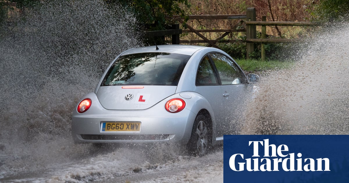
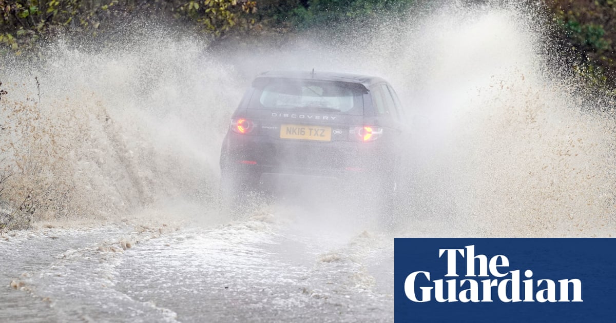
Kate Marks, a flood duty manager at the Environment Agency, said: “We urge people to stay safe on the coast and to remember to take extreme care on coastal paths and promenades. Flooding of low-lying coastal roads is also possible and people must avoid driving through flood water, as just 30cm of flowing water is enough to move your car.”


