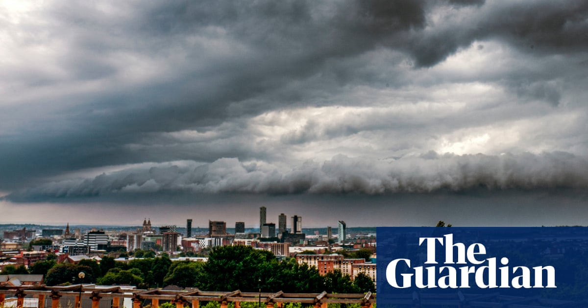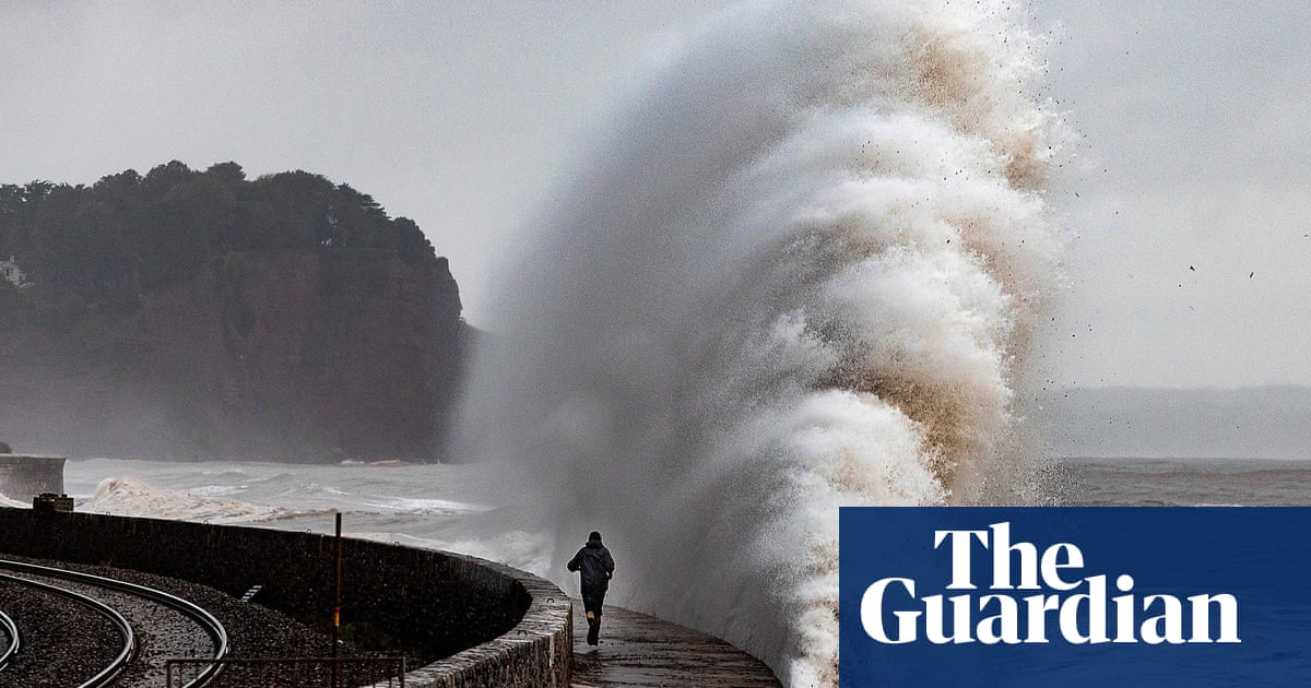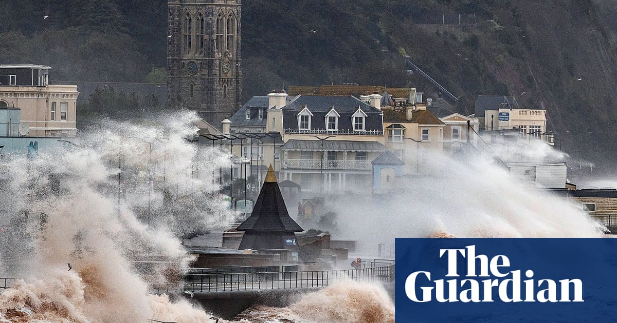
Storm Ciarán is forecast to bring a fresh bout of strong winds and heavy rain to the UK – with “danger to life” amber weather warnings issued for Thursday.
Two amber warnings, the second-highest level of alert, are in place for parts of the south coast of England on Thursday, with further yellow rain warnings, the lowest level, meaning some disruption could be on the way.
The Met Office spokesperson Oliver Claydon said the storm was “forming as we speak” and will hit on Wednesday evening, with coastal gusts of 70mph to 80mph and the potential for 85mph.
People are being urged not to go near the water’s edge due to “very dangerous conditions”.
A red wind warning, the highest level, has been issued by Jersey Met for Wednesday evening into Thursday, with people warned to avoid outside activity due to predicted gusts of almost 100mph.
Northern Ireland has already experienced flooding, where a yellow rain warning from the Met Office was in place until 9am on Wednesday. A similar notice has been issued for parts of south-west, central and eastern Scotland from 3am to 3pm and in southern parts of England and Wales from 6pm on Wednesday until the end of Thursday.
A yellow warning for wind is in place across southern England and parts of south Wales from 9pm on Wednesday and throughout Thursday.
Claydon said: “There will be very dangerous conditions on the coastline, large waves. We would urge people not to go near the water’s edge. Rain warnings are in place, there will be some very saturated grounds bringing an additional hazard.”
Northern Wales will receive the most rain, with the potential for 10cm (nearly 4in) over 36 hours.
Thursday’s amber warning is in place from 3am to 11am in Cornwall and Devon, with the Met Office predicting Storm Ciarán will bring winds of 75mph to 85mph with 65mph to 75mph gusts inland.
Across the south coast, the amber warning runs from 6am to 5pm, with winds expected to reach 70mph to 80mph with the potential for 85mph and large waves.
The warning says wind could disrupt travel, bring down power lines and cause structural damage, with flying debris providing a threat to life.
Elsewhere in southern England and south-west Wales, gusts could reach 50mph to 60mph with 60mph to 70mph on the coasts. Yellow warnings for rain are in place for southern England and Wales, north-east Wales, north-east England and Scotland stretching up to Inverness, and the south-east of Northern Ireland. The warning across north-east England and Scotland will be in place until 6am on Friday.
Kate Marks, flood duty manager at the Environment Agency, said “significant flooding” was possible. We advise people to stay away from swollen rivers and urge people not to drive through flood water as just 30cm (1ft) of flowing water is enough to move your car,” she said.
The Environment Agency had issued 24 flood warnings for England by 11am on Wednesday morning, with 116 flood alerts.
The weather is not showing much sign of a rapid improvement once Storm Ciarán passes. The Met Office deputy chief meteorologist Steven Keates said: “Once Storm Ciarán has passed, the weather over the weekend continues to look unsettled for many, with more showers and rain at times.
“Warnings will continue to be updated over the coming days, so it is important to stay up to date with the Met Office forecast and warnings in your area.”
Dr Friederike Otto, at Imperial College London, said: “There are a lot of lines of evidence showing that autumn and winter storms like this are more damaging because of climate change. That’s because the rainfall associated with these types of storms is more severe due to climate change, and the storm surges are higher and thus more damaging due to the higher sea levels.”
Dr Michael Byrne, at the University of St Andrews, said: “The heavy rain is very likely to be linked to climate change: a warmer atmosphere holds more water vapour. The link between strong winds and climate change is much less clear. There is some evidence suggesting storms like Ciarán will become windier as climate warms, but the jury is out.”


