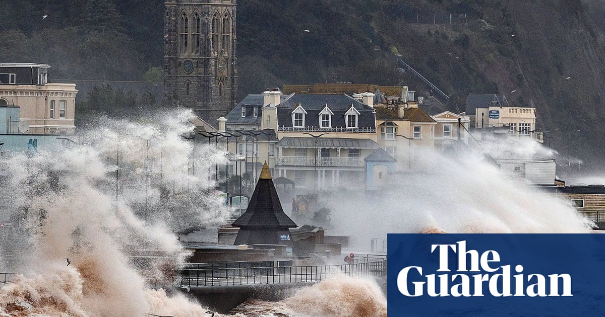
Humza Yousaf has warned against unnecessary travel in parts of Scotland as Storm Babet is forecast to hit several towns between Dundee and Aberdeen and pose a “risk to life” on Thursday.
Great Britain is bracing for heavy wind and rain from the storm, which is moving east from Ireland after sweeping in from the Atlantic. The Met Office issued a rare red weather warning, stating that there is a “risk to life” from flooding in Aberdeenshire and Angus.
On X, formerly Twitter, Scotland’s first minister said: “Please be aware of the challenging weather we are due to experience across Scotland, most severe from Thursday 18:00 – Friday 12:00.
“Weather warning across Angus & the North East has been upgraded to Red. Travel should be avoided unless absolutely essential.”
He added: “The Scottish government is working with local resilience partners, including our emergency services, to ensure we keep everyone safe & mitigate disruption as best we can.”
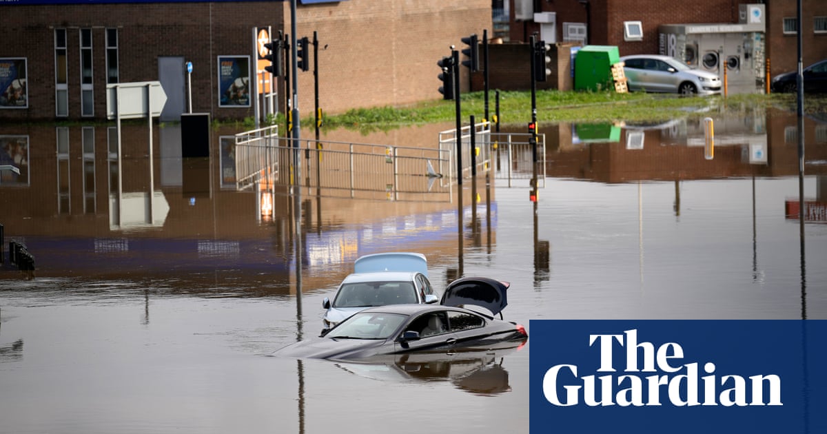
On Wednesday, there were heavy showers and flooding across the island of Ireland. The army and civil defence units supported evacuation measures in the town of Midleton, County Cork, in the Irish republic where more than 100 properties were flooded.
Cork county council said more than a month’s worth of rain had fallen in 24 hours, leading to unprecedented flooding, saturated land and high river levels across the county.
The Met Office issued an amber weather warning for parts of eastern Scotland on Thursday, while yellow warnings for rain cover much of England and the rest of Scotland.
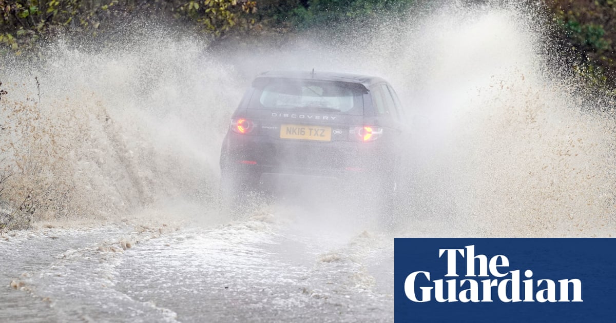
The red warning is for “danger to life from fast-flowing or deep flood water” in Aberdeenshire and Angus, and extensive flooding and road closures are also expected. There could also be power cuts and some areas could be cut off for days.
This is the first red warning for rain issued in the UK since Storm Dennis in February 2020.
Storm Babet, a complex area of low pressure that developed to the west of the Iberian peninsula, was named by the Met Office on Monday morning. The second named storm of the season would last until Saturday, the forecaster said, and was expected to cause flooding, power cuts and travel disruption.
Yellow severe weather warnings have been issued across the week from Thursday until Saturday for a vast area of the UK, covering already saturated parts of Scotland, Northern Ireland, and northern and eastern England.
Elsewhere in the UK, the Met Office said there would be much lighter winds with showers and bright and sunny spells.
Tony Wardle, the Met Office’s deputy chief meteorologist, said: “Storm Babet will bring disruption for parts of the UK in the coming days, with heavy rain and strong winds likely for many. Heavy and persistent rain will fall on to already saturated ground, bringing a risk of flooding. It is important to stay up to date with warnings from your local flood warning agency as well as the local authorities.
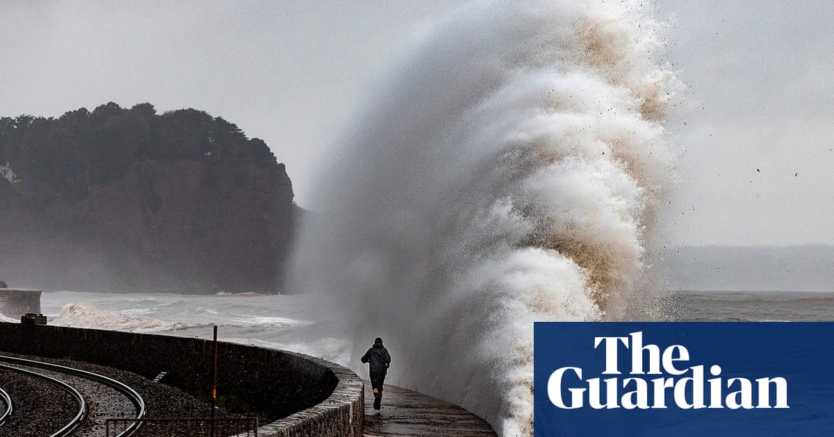
“As well as heavy rain, Storm Babet will bring some very strong winds and large waves near some eastern coasts. Gusts around 70mph are possible in eastern and northern Scotland from Thursday. Met Office warnings will continue to be reviewed as the forecast develops.”
Transport Scotland has advised the public to avoid travel in red warning areas and to expect a high risk of disruption in the amber areas.
Ch Supt Hilary Sloan, head of road policing for Police Scotland, said: “Our advice is to avoid any form of travel during the period of the red weather warning. Driving conditions are expected to be extremely dangerous, with disruption and significant delays.”


