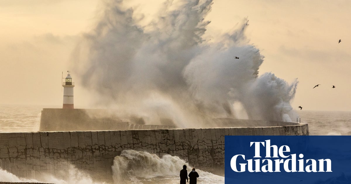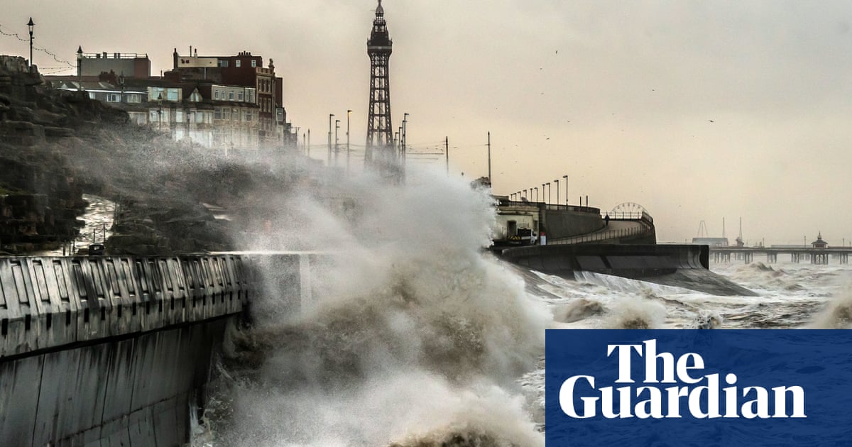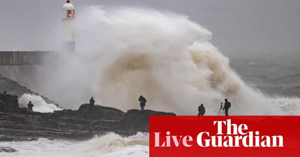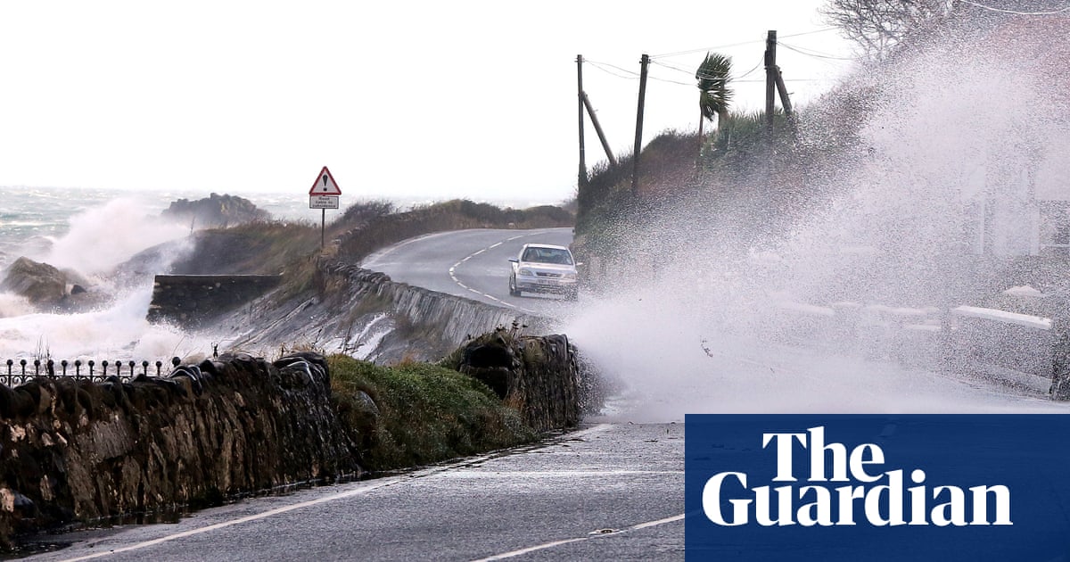
A tornado warning has been issued across parts of Britain as Storm Isha takes hold, with potentially life-threatening gusts and travel disruption expected into Monday.
A “tornado watch” zone was issued for Northern Ireland as well as parts of Scotland and northern England by the Tornado and Storm Research Organisation (Torro) on Sunday afternoon. That means a “strong tornado” is possible in those regions.
Two amber wind alerts were put in place by the Met Office across the country on Sunday, while rail, sea and air travellers faced disruption, with closures, cancellations and delays on a number of services. The Met Office said 90mph winds hit Capel Curig in north Wales on Sunday evening. Parts of Scotland, northern England and Northern Ireland could see similar speeds.
It also urged people to check the weather and advice from their local councils, as it warned of power cuts, flying debris, travel disruption and dangerous conditions near the coast, including high waves.
The Met Office forecaster Marco Petagna told the PA news agency: “There is a potential that we could see the odd isolated tornado largely tied in with the squally cold front mainly in western parts of the UK on Sunday evening.
“They can cause some significant damage, but often on a very localised scale. They often don’t tend to last very long.”
The body that represents Britain’s energy networks warned of risks to homes and vital infrastructure. The Met Office meteorologist Tom Morgan said: “We’re expecting widespread gales to affect the UK. Amber warnings are in place for large parts of the country.
“There’s the potential for danger to life and damaging winds potentially leading to some power cuts in places. Some large waves around coastal regions could bring some debris onto roads and trees could come down.
“We have a wind warning in place across the whole of the UK. It’s pretty unusual for the whole of the country to be under a blanket wind warning.”
The Met Office has said “everybody” will be affected by the storm. Two 12-hour amber wind warnings remain in place from 6pm on Sunday until Monday morning. One stretches across central, eastern and western England and all of Wales, missing only London and parts of the south-east. The other covers all of Scotland and northern England and Northern Ireland.
ScotRail ceased rail services early on Sunday and confirmed there would be no Monday morning rush-hour services. Network Rail said it had “taken the decision to close the network to all freight and passenger trains from 22.00 [on Sunday night] until Monday morning”.
Air traffic control restrictions are in place, leading to some flight cancellations and midair diversions. Nats, the UK’s national air traffic control services, told the PA news agency: “Due to adverse weather conditions across the UK, temporary air traffic restrictions are in place. Restrictions of this sort are only ever applied to maintain safety.
“Our teams are working closely with airports and airlines to minimise disruption. Passengers should check the status of their flight with their airline.”
British Airways said: “Like other airlines, we have had to make schedule adjustments due to the adverse weather conditions across the UK and Europe caused by Storm Isha. We’ve apologised to our customers for the disruption to their travel plans and our teams are working hard to get them on their way as quickly as possible.”
National Highways issued amber severe weather alerts in the north-west, north-east, south-west and south-east of England, as well as the east and west Midlands, from 6pm on Sunday until the early hours of Monday, and advised motorists to plan around disruption. There was a particularly high risk that taller vehicles and other vulnerable vehicles such as caravans and motorbikes could be blown over, it said.
The cold Arctic air that has given the UK sunny skies but freezing temperatures was subsiding, the Met Office said, and being replaced by an Atlantic influence that would bring a return to milder conditions, but also bring wet and windy weather across the UK.
The storm would move away on Monday morning, developing into very strong winds in the far south-east of England, and the risk of 70-80mph gusts in the early hours.
Petagna said: “Storm Isha will bring a disruptive spell of weather to the UK with strong winds across the whole country. Heavy rain will cause additional hazards, particularly in the west. A number of severe weather warnings for rain have also been issued. Keep up to date with the Met Office warnings and pay close attention to guidance from your local authority.”
A spokesperson for Energy Networks Association, which represents Britain’s energy network operators, urged people to check in with those who might need extra help, and to share information with friends and family.
The Met Office said the high winds would gradually ease through the day on Monday, while overnight into Tuesday would be calmer for most of the country, with lighter winds and fewer showers in the north.
But it warned that low pressure would bring further wet and windy weather from the west on Tuesday morning, which would spread eastwards across the UK.
Later in the week, conditions are expected to ease in the south, with temperatures expected to remain mild for the time of year. Any wet and windy weather is predicted to be confined largely to the north-west of the UK.


