A rare red weather warning for coastal parts of south Wales and south-west England has been issued by the Met Office before what could be the worst storm to hit the UK in 30 years.
Storm Eunice is expected to arrive at 5am on Friday, bringing potentially dangerous weather for much of the UK.
People were being urged to consider staying at home and rail services were being cancelled on a day with winds of up to 90mph expected and, farther north, possible heavy snow and blizzards.
Coastal areas of Cornwall, Devon, Somerset and south Wales will bear the brunt of Eunice, with the red warning in place between 7am and midday. People can expect flying debris presenting “a danger to life”, forecasters said, as well as roofs blown off, power cuts, uprooted trees and major travel disruption.
People have been warned to “tie down” objects in their gardens and be wary of fierce winds which could cause trees to topple over and tiles to fly off buildings.
A major incident was declared in Cornwall, with residents advised not to travel unless absolutely necessary, and to stay away from exposed coastal areas, with Cornwall council warning winds could hit 100mph. Residents in Bournemouth, Christchurch and Poole were also urged to travel only if essential by the local council.
Eunice was declared a major incident by authorities in Avon and Somerset due to the potential for severe disruption. Police said it was likely both Severn crossings would be closed.
Flood warnings were issued by the Environment Agency for parts of the Severn and Wye estuaries. Residents were urged to check if they were in an at-risk area from a predicted tidal surge and “take action immediately” to implement emergency flood plans.
All Welsh train services were suspended for Friday and Network Rail said disruption across the wider network was “inevitable”.
A number of attractions, likely to have been busier because it is half-term for many schools, said they would not open on Friday. They included the London Eye, Legoland, Warwick Castle, Kew Gardens and Bristol Zoo.
In London, the Royal Parks said Richmond, Bushy and Greenwich parks would be closed. “This decision is based on the strong winds, the age and vulnerability of trees in particular parks,” it said. Playgrounds in other parks would also be closed. Sadiq Khan, the mayor of London, also announced that shelters were being opened on Thursday evening for people who are sleeping rough, with other local authorities activating similar measures.
A number of bridges are also likely to close, with the Dartford Crossing expected to shut from 5am. Councils across the south-west have advised schools to give pupils the day off on Friday, while all schools in north Wales will be closed.
Eunice is the result of a process called explosive cyclogenesis, or weather bomb, which forms a deep area of low pressure that results in storms.
A red alert is the highest level, meaning a high impact is very likely. Amber warnings, the second highest alert level, for wind are in place across the whole of England from 5am to 9pm on Friday, while yellow weather warnings, the next level down, for wind and snow are in force for a large part of Scotland – where blizzards are predicted – and the whole of Northern Ireland.
The Met Office warnings came hours after Storm Dudley battered Northern Ireland, northern England and southern Scotland. A spokesperson said Eunice could be “one of the most impactful” storms to hit central and southern parts of the UK for many years.
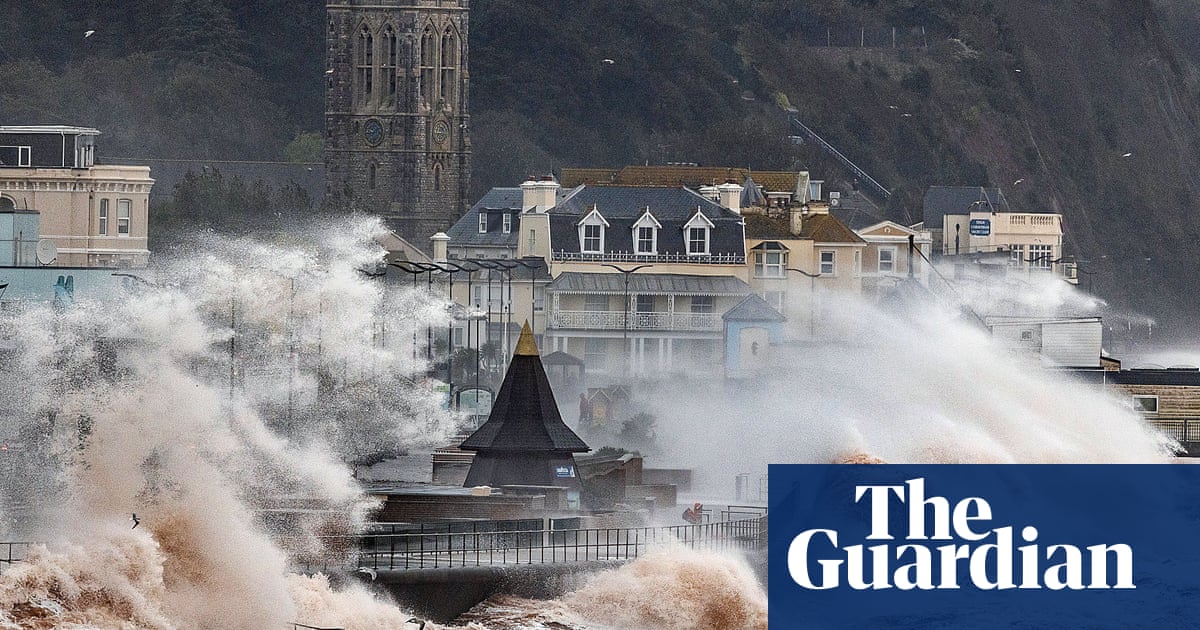
Severe and significant flooding may also take place along the coastlines of the south and west of England as spring tides are expected on Friday morning.
The government’s Cobra emergency committee, led by the Cabinet Office minister, Michael Ellis, met on Thursday “to discuss the response to Storm Dudley and Storm Eunice”. Boris Johnson, on a visit to RAF Waddington in Lincolnshire, said the army was on standby should it be needed.
The clean-up after Dudley continued throughout Thursday. Thousands of homes were left without power in the north-east of England, Cumbria, North Yorkshire and Lancashire as heavy rain and strong winds, gusting to more than 80mph in places, hit on Wednesday, uprooting trees and bringing down power lines.
Rail safety checks were being carried out on Thursday morning: Network Rail said it was inspecting more than 1,400 miles of track. Most ScotRail services were back up and running after being wound down early on Wednesday.
Cornwall council said the coming storm was likely to be as powerful as those that affected the south-west in 2014, which caused widespread flooding and badly damaged the rail line in Dawlish, Devon.
The council said the whole of Cornwall and the Isles of Scilly – but in particular the north Cornish coast – could expect winds of up to 100mph, structural damage, mobile homes being overturned, communications and power outages and fallen trees.
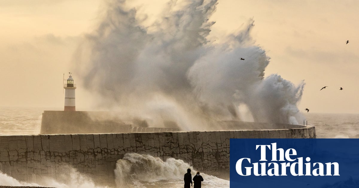
The worst of the winds are expected to coincide with high spring tides along the Cornish coastline at about 6am, leading to possible flooding. People are urged to stay back from cliffs and seafronts owing to the danger of large waves.
The areas expected to be worst-affected include St Ives harbour, Port Isaac and Polzeath.


