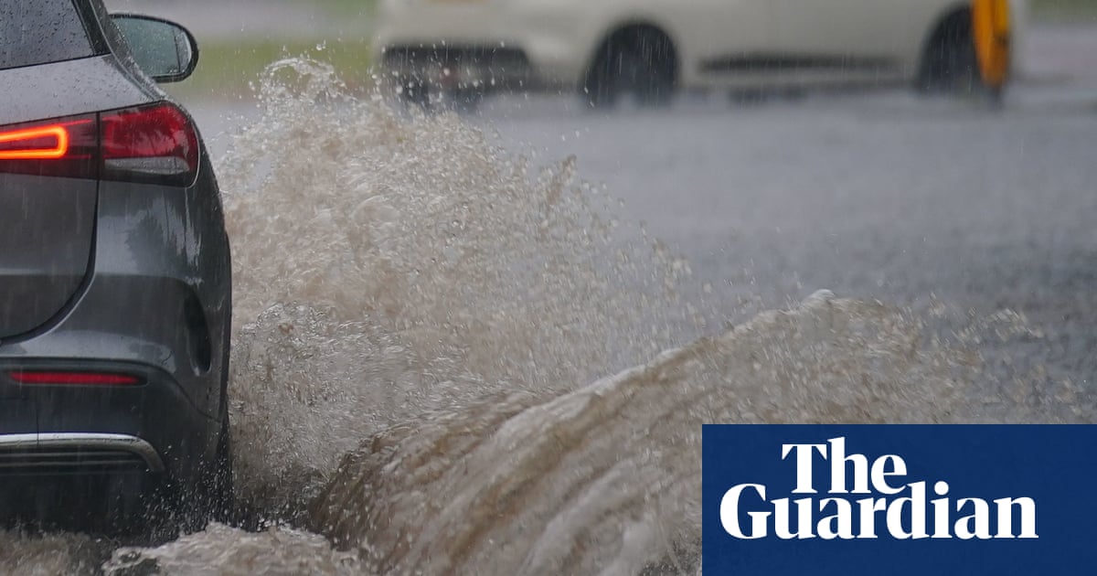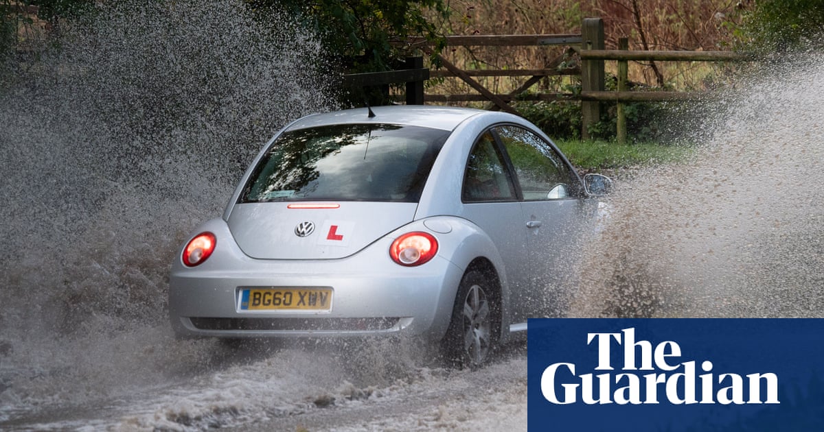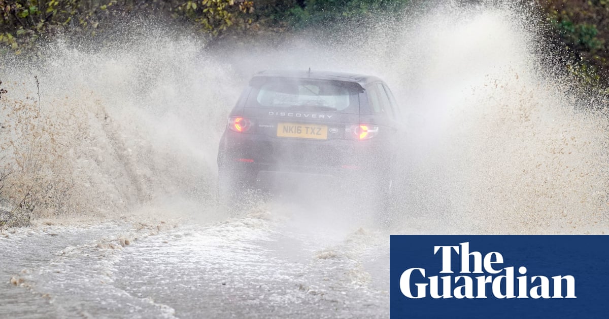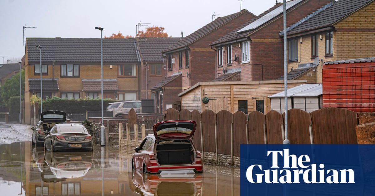
The Met Office has warned of “danger to life” caused by floods, gales and snow as Storm Christoph heads to the UK, with people warned to brace themselves for a period of unsettled weather.
People are being urged to prepare as an amber weather warning for rain was issued by the Met Office for Tuesday to Thursday for central northern England, affecting an area around Manchester, Leeds and Sheffield and stretching down to Peterborough.
A major incident has been declared in South Yorkshire in preparation for potential flooding.
Manchester, Leeds and Sheffield are to expect up to 70mm of rain between Tuesday and Thursday, and more than 200mm in the southern Pennines and northern Peak District.
The Met Office issued a danger to life warning owing to fast-flowing or deep flood water and a “good chance some communities [could be] cut off by flooded roads”.
The heavy rainfall coupled with snowmelt poses a serious risk of flooding in some parts. The Environment Agency has issued 11 local flood warnings covering parts of Yorkshire, Derbyshire, Lancashire, Greater Manchester, Merseyside and Cheshire.
There are a further 109 flood alerts, meaning flooding is possible in the area. The number could increase as the impact of the first heavy rain is felt overnight.
People living in those areas are urged to prepare for the risk of significant flooding as early as Tuesday morning, as the rain hits already saturated ground. Defences including temporary barriers and the opening of flood storage reservoirs are being prepared, the Environment Agency said.
Ros Jones, the mayor of Doncaster, said emergency protocols were being instigated on Sunday, with sandbags handed out in flood-risk areas. She said plans would run alongside the region’s Covid-19 response.
Katharine Smith, the flood duty manager at the Environment Agency, said: “Heavy and persistent rain falling on already saturated ground with snowmelt in parts of northern, central and eastern England is expected to bring significant river and surface water flooding, and could cause damage to buildings in some communities.
“Flooding could continue to affect parts of central, eastern and northern England into Friday, with localised flooding of land and roads a possibility elsewhere across much of [the] country on Wednesday and Thursday.”
People are urged to stay away from swollen rivers and not to drive through flood water, and motorists are advised to drive only if absolutely necessary during heavy rain and to avoid flood water completely.
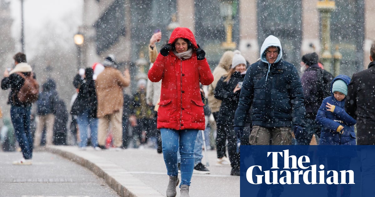
The Met Office said more snow could be in the offing for some parts of the country, in addition to strong winds. Dan Suri, a meteorologist, said: “As the system moves away into the North Sea on Wednesday night and Thursday morning, there will be strong winds along the east coast for a time.
“Meanwhile, colder air coming southwards into the weather system brings the risk of further snow on the back edge of this system. Temperatures will gradually fall across the UK through the end of the week and into the weekend, bringing a return to widespread overnight frosts.”
Snow is most likely in Scotland and the north-east of England, forecasters said, with calmer conditions overall heading into the weekend.
A Met Office spokesperson said: “It’s a very unsettled period as we go through the week until Friday, where we see colder air from the north pushing away the low pressure, so we expect a fine cold day on Friday.”


